


Balbronn

apa
Gebruiker
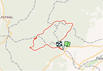

Lengte
13,2 km

Max. hoogte
667 m

Positief hoogteverschil
432 m
Km-Effort
18,9 km

Min. hoogte
265 m

Negatief hoogteverschil
432 m
Boucle
Ja
Datum van aanmaak :
2019-05-06 15:21:37.095
Laatste wijziging :
2020-01-26 19:01:30.564
4h15
Moeilijkheid : Medium

Gratisgps-wandelapplicatie
 SityTrail
IGN / Geografische instituten
SityTrail Plus
De wereld gaat voor u open
Over ons
Tocht Stappen van 13,2 km beschikbaar op Grand Est, Bas-Rhin, Still. Deze tocht wordt voorgesteld door apa.
Beschrijving
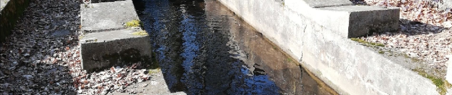
Rando falaise
Foto's


Plaatsbepaling
Land:
France
Regio :
Grand Est
Departement/Provincie :
Bas-Rhin
Gemeente :
Still
Locatie:
Unknown
Vertrek:(Dec)
Vertrek:(UTM)
380571 ; 5381904 (32U) N.
Opmerkingen