


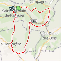
Circuit du Dué - St Germain de Pasquier

tracegps
Gebruiker


2h15
Moeilijkheid : Medium

Gratisgps-wandelapplicatie
 SityTrail
IGN / Geografische instituten
SityTrail Plus
De wereld gaat voor u open
Over ons
Tocht Stappen van 9 km beschikbaar op Normandië, Eure, Saint-Germain-de-Pasquier. Deze tocht wordt voorgesteld door tracegps.
Beschrijving
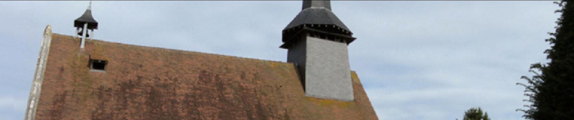
Circuit proposé par le pays du Roumois. Départ : place de la mairie à St Germain de Pasquier. Ce circuit débute à St Germain de Pasquier. Vous y verrez la chapelle et la source Sainte Clothilde. La légende veut que cette source guérisse des maux. Un pèlerinage avait jadis lieu tous les ans au mois de juin, on y emmenait les enfants malades avec l’espoir d’une guérison miraculeuse. Aujourd’hui, la chapelle est devenue la mairie, la plus petite de France ! Retrouvez ici le circuit sur le site du Pays Roumois.
Foto's


Plaatsbepaling
Opmerkingen
classe