


155 km | 195 km-effort


Gebruiker


Gratisgps-wandelapplicatie
 SityTrail
IGN / Geografische instituten
SityTrail World
De wereld gaat voor u open
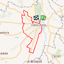
Tocht Stappen van 14 km beschikbaar op Occitanië, Gers, Fleurance. Deze tocht wordt voorgesteld door tracegps.
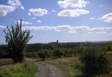
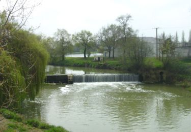
Balade tout autour de Fleurance Départ du Moulin du Roy. A voir la Bastide de Fleurance. Circuit numérisé par la Communauté de Communes de la Lomagne Gersoise.

Mountainbike

Mountainbike
Mountainbike
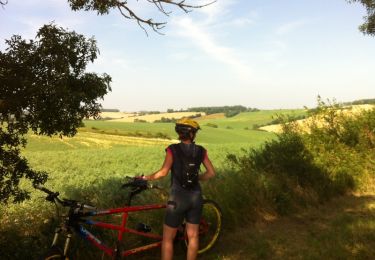
Mountainbike
Stappen

Stappen

Stappen

Stappen

Stappen