


Gr-347_03_St-Laurent-Sur-Oust_La-Ville-André _20190332

patrickdanilo
Gebruiker
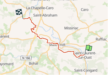

Lengte
19,1 km

Max. hoogte
109 m

Positief hoogteverschil
332 m
Km-Effort
23 km

Min. hoogte
11 m

Negatief hoogteverschil
289 m
Boucle
Neen
Datum van aanmaak :
2019-03-31 18:39:56.12
Laatste wijziging :
2022-12-14 13:16:48.089
4h20
Moeilijkheid : Gemakkelijk

Gratisgps-wandelapplicatie
 SityTrail
IGN / Geografische instituten
SityTrail Plus
De wereld gaat voor u open
Over ons
Tocht Stappen van 19,1 km beschikbaar op Bretagne, Morbihan, Saint-Laurent-sur-Oust. Deze tocht wordt voorgesteld door patrickdanilo.
Beschrijving
Randonnée Marche de 19,1 km à découvrir à Bretagne, Morbihan, Saint-Laurent-sur-Oust. Cette randonnée est proposée par patrickdanilo.
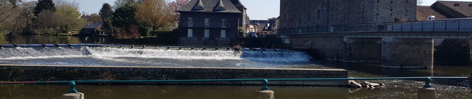
Foto's


Plaatsbepaling
Land:
France
Regio :
Bretagne
Departement/Provincie :
Morbihan
Gemeente :
Saint-Laurent-sur-Oust
Locatie:
Unknown
Vertrek:(Dec)
Vertrek:(UTM)
550876 ; 5293661 (30T) N.
Opmerkingen