


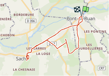
Pont-de-Ruan - Saché - 9.2km 90m 1h50 - 2019 03 31

Orcal37
Gebruiker GUIDE

Lengte
9,2 km

Max. hoogte
80 m

Positief hoogteverschil
87 m
Km-Effort
10,3 km

Min. hoogte
44 m

Negatief hoogteverschil
86 m
Boucle
Ja
Datum van aanmaak :
2019-05-07 01:52:50.172
Laatste wijziging :
2022-09-08 16:53:25.974
1h50
Moeilijkheid : Heel gemakkelijk

Gratisgps-wandelapplicatie
 SityTrail
IGN / Geografische instituten
SityTrail Plus
De wereld gaat voor u open
Over ons
Tocht Stappen van 9,2 km beschikbaar op Centre-Val de Loire, Indre-et-Loire, Pont-de-Ruan. Deze tocht wordt voorgesteld door Orcal37.
Beschrijving
Pont-de-Ruan - Saché - 9.2km 90m 1h50 - 2019 03 31
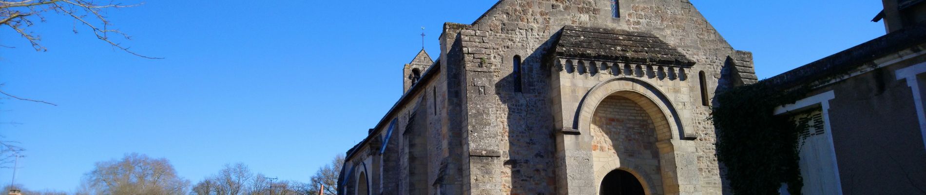
Foto's


Plaatsbepaling
Land:
France
Regio :
Centre-Val de Loire
Departement/Provincie :
Indre-et-Loire
Gemeente :
Pont-de-Ruan
Locatie:
Unknown
Vertrek:(Dec)
Vertrek:(UTM)
316546 ; 5237118 (31T) N.
Opmerkingen