


Nitray - Bléré - AR - 2015 11 15

Orcal37
Gebruiker GUIDE


Lengte
13,8 km

Max. hoogte
80 m

Positief hoogteverschil
125 m
Km-Effort
15,5 km

Min. hoogte
49 m

Negatief hoogteverschil
125 m
Boucle
Ja
Datum van aanmaak :
2019-05-07 01:56:22.41
Laatste wijziging :
2022-09-08 17:43:44.643
2h25
Moeilijkheid : Gemakkelijk

Gratisgps-wandelapplicatie
 SityTrail
IGN / Geografische instituten
SityTrail Plus
De wereld gaat voor u open
Over ons
Tocht Stappen van 13,8 km beschikbaar op Centre-Val de Loire, Indre-et-Loire, Athée-sur-Cher. Deze tocht wordt voorgesteld door Orcal37.
Beschrijving
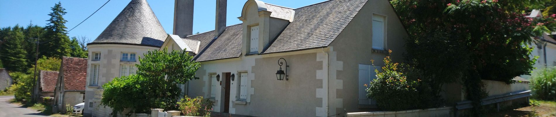
Nitray - Bléré (pont rocade) - AR - 2015 11 15
Foto's

Plaatsbepaling
Land:
France
Regio :
Centre-Val de Loire
Departement/Provincie :
Indre-et-Loire
Gemeente :
Athée-sur-Cher
Locatie:
Unknown
Vertrek:(Dec)
Vertrek:(UTM)
341202 ; 5245442 (31T) N.
Opmerkingen