


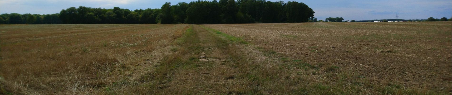
Semblancay - 19km 4h10 40mn - 2016 05 05

Orcal37
Gebruiker GUIDE

Lengte
19,1 km

Max. hoogte
135 m

Positief hoogteverschil
144 m
Km-Effort
21 km

Min. hoogte
100 m

Negatief hoogteverschil
144 m
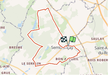
Boucle
Ja
Datum van aanmaak :
2019-05-07 01:56:53.832
Laatste wijziging :
2021-07-12 13:00:47.013
4h40
Moeilijkheid : Gemakkelijk

Gratisgps-wandelapplicatie
 SityTrail
IGN / Geografische instituten
SityTrail Plus
De wereld gaat voor u open
Over ons
Tocht Stappen van 19,1 km beschikbaar op Centre-Val de Loire, Indre-et-Loire, Semblançay. Deze tocht wordt voorgesteld door Orcal37.
Beschrijving
Semblancay - 19km 4h10 40mn - 2016 05 05
Foto's


Plaatsbepaling
Land:
France
Regio :
Centre-Val de Loire
Departement/Provincie :
Indre-et-Loire
Gemeente :
Semblançay
Locatie:
Unknown
Vertrek:(Dec)
Vertrek:(UTM)
318163 ; 5263565 (31T) N.
Opmerkingen