


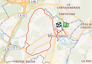
Montbazon - 10.3km 100m 2h15 - 2018 05 08

Orcal37
Gebruiker GUIDE

Lengte
10,3 km

Max. hoogte
99 m

Positief hoogteverschil
98 m
Km-Effort
11,6 km

Min. hoogte
50 m

Negatief hoogteverschil
97 m
Boucle
Ja
Datum van aanmaak :
2019-05-07 01:57:12.936
Laatste wijziging :
2021-08-24 17:25:59.775
2h15
Moeilijkheid : Gemakkelijk

Gratisgps-wandelapplicatie
 SityTrail
IGN / Geografische instituten
SityTrail Plus
De wereld gaat voor u open
Over ons
Tocht Stappen van 10,3 km beschikbaar op Centre-Val de Loire, Indre-et-Loire, Montbazon. Deze tocht wordt voorgesteld door Orcal37.
Beschrijving
Montbazon - 10.3km 100m 2h15 - 2018 05 08
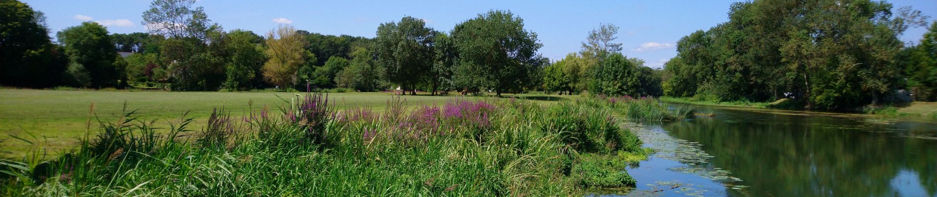
Foto's


Plaatsbepaling
Land:
France
Regio :
Centre-Val de Loire
Departement/Provincie :
Indre-et-Loire
Gemeente :
Montbazon
Locatie:
Unknown
Vertrek:(Dec)
Vertrek:(UTM)
327405 ; 5239872 (31T) N.
Opmerkingen