Tocht Stappen Épannes - Epannes (plan d'eau). 6,8km - Photo

Epannes (plan d'eau). 6,8km

 olaze
olaze

Gebruiker

© OpenStreetMap contributors
Lengte
Lengte
6,8 km
Max. hoogte
Max. hoogte
24 m
Positief hoogteverschil
27 m
Km-Effort
Km-Effort  
7,2 km
Min. hoogte
Min. hoogte
15 m
Negatief hoogteverschil
30 m
Boucle
Boucle
Ja
Datum van aanmaak :
2014-12-10 00:00:00.0
Laatste wijziging :
2014-12-10 00:00:00.0

(0 Bericht)

Stappen
Stappen
1h49
Moeilijkheid : Gemakkelijk

Scan deze QR-code om de tocht te openen in de SityTrail-applicatie

Gratisgps-wandelapplicatie

Logo SityTrail SityTrail

IGN / Geografische instituten

SityTrail uit de App Store downloaden SityTrail uit Google Play downloaden

Logo SityTrail SityTrail World

De wereld gaat voor u open

SityTrail uit de App Store downloaden SityTrail uit Google Play downloaden SityTrail op Huawei AppGallery downloaden

Over ons

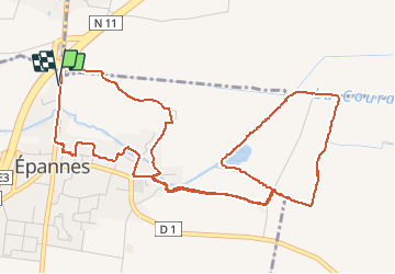
Tocht Stappen van 6,8 km beschikbaar op Nieuw-Aquitanië, Deux-Sèvres, Épannes. Deze tocht wordt voorgesteld door olaze.

Beschrijving

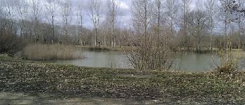
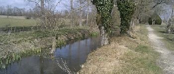
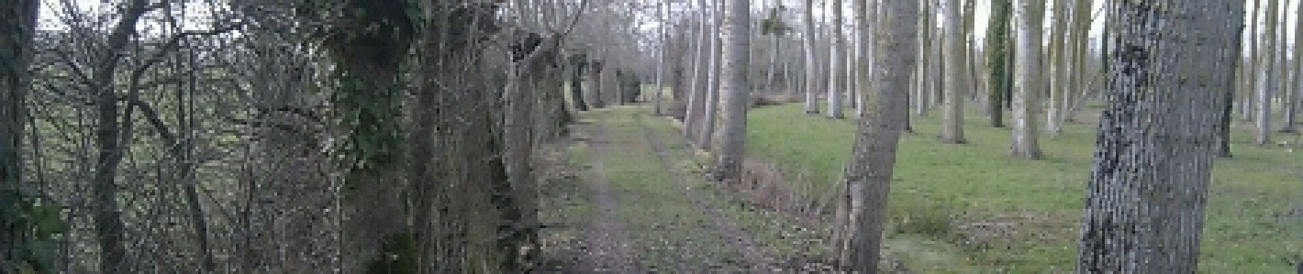
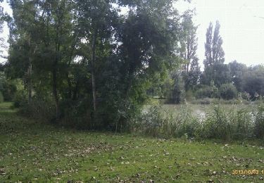
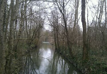
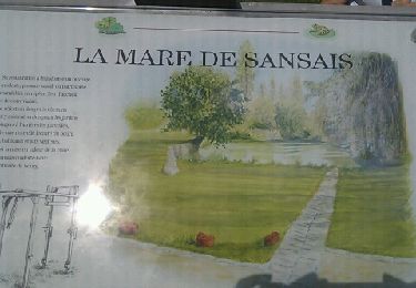
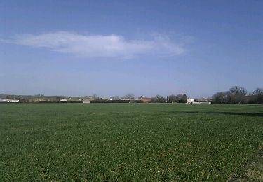
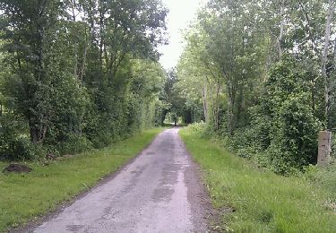
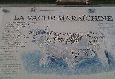
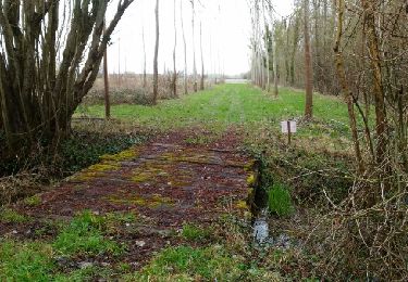
Circuit départ et retour d''Epannes. Plan d''eau d''epannes,le marais.
Club rando Bessines*

Hoogteprofiel

Foto's

POI's

POI Épannes - vue 3 - Photo
olaze
ÉPANNES 
POI Épannes - Vue 2 - Photo
olaze
ÉPANNES 
POI Épannes - vue 4 - Photo
olaze
ÉPANNES 

Plaatsbepaling

Land:
France
Regio :
Nieuw-Aquitanië
Departement/Provincie :
Deux-Sèvres
Gemeente :
Épannes
Locatie:
Unknown
Vertrek:(Dec)
Vertrek:(UTM)
686281 ; 5122924 (30T) N.

Wandeltochten in de omgeving

Tocht Stappen Épannes - Epannes. plan d'eau .(9km) - Photo
Stappen
olaze

Stappen

Heel gemakkelijk
Épannes, Nieuw-Aquitanië, Deux-Sèvres, France
10,2 km | 10,9 km-effort
2h 12min
Ja
Tocht Stappen Épannes - Epannes . (fougerit) - Photo
Stappen
olaze

Stappen

Gemakkelijk
Épannes, Nieuw-Aquitanië, Deux-Sèvres, France
9,7 km | 10,3 km-effort
2h 18min
Ja
Tocht Stappen Sansais - Sansais (9,6km) - Photo
Stappen
olaze

Stappen

Gemakkelijk
Sansais, Nieuw-Aquitanië, Deux-Sèvres, France
9,6 km | 10,5 km-effort
2h 25min
Ja
Tocht Stappen La Rochénard - La Rochenard - Photo
Stappen
olaze

Stappen

Heel gemakkelijk
La Rochénard, Nieuw-Aquitanië, Deux-Sèvres, France
3 km | 3,3 km-effort
1h 18min
Ja
Tocht Stappen Le Bourdet - Le Bourdet - 10km - Photo
Stappen
olaze

Stappen

Gemakkelijk
Le Bourdet, Nieuw-Aquitanië, Deux-Sèvres, France
10,5 km | 11,1 km-effort
2h 28min
Ja
Tocht Stappen Épannes - Epannes (Le Bourdet). 9,3km - Photo
Stappen
olaze

Stappen

Gemakkelijk
Épannes, Nieuw-Aquitanië, Deux-Sèvres, France
9,3 km | 9,8 km-effort
2h 22min
Ja
Tocht Stappen Prin-Deyrançon - Prin Deyrançon 2 - Photo
Stappen
olaze

Stappen

Gemakkelijk
Prin-Deyrançon, Nieuw-Aquitanië, Deux-Sèvres, France
8,4 km | 9,1 km-effort
2h 9min
Ja
Tocht Stappen Amuré - Amuré 7.4 km - Photo
Stappen
GOELERANDO2

Stappen

Gemakkelijk
Amuré, Nieuw-Aquitanië, Deux-Sèvres, France
7,4 km | 7,8 km-effort
1h 46min
Ja
Tocht Stappen Épannes - Epannes_Le Bourdet_8,8km - Photo
Stappen
olaze

Stappen

Gemakkelijk
Épannes, Nieuw-Aquitanië, Deux-Sèvres, France
8,8 km | 9,3 km-effort
2h 4min
Ja


Sluiten
Mijn abonnementen