


Sansais (9,6km)

olaze
Gebruiker
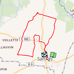

Lengte
9,6 km

Max. hoogte
32 m

Positief hoogteverschil
68 m
Km-Effort
10,5 km

Min. hoogte
8 m

Negatief hoogteverschil
67 m
Boucle
Ja
Datum van aanmaak :
2014-12-10 00:00:00.0
Laatste wijziging :
2014-12-10 00:00:00.0
2h25
Moeilijkheid : Gemakkelijk

Gratisgps-wandelapplicatie
 SityTrail
IGN / Geografische instituten
SityTrail Plus
De wereld gaat voor u open
Over ons
Tocht Stappen van 9,6 km beschikbaar op Nieuw-Aquitanië, Deux-Sèvres, Sansais. Deze tocht wordt voorgesteld door olaze.
Beschrijving
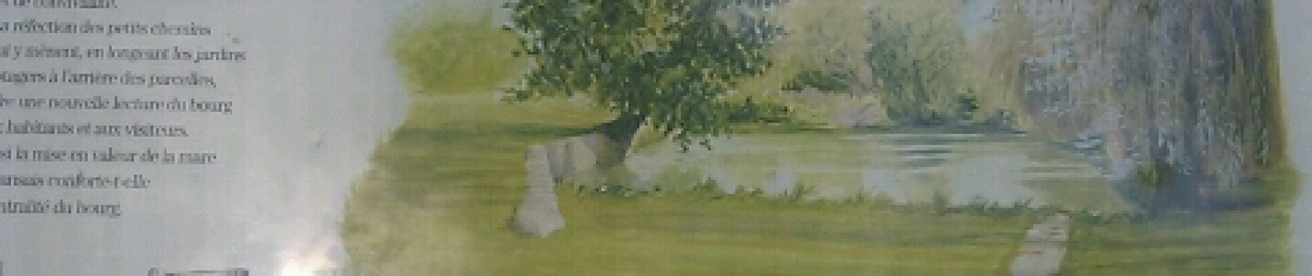
Rando départ retour Sansais.
A travers chemins de campagne.Néron.
Club rando Bessines.Juin 2012
Foto's
 - Photo 1")
 - Photo 2")
 - Photo 3")
 - Photo 4")
 - Photo 5")
Plaatsbepaling
Land:
France
Regio :
Nieuw-Aquitanië
Departement/Provincie :
Deux-Sèvres
Gemeente :
Sansais
Locatie:
Unknown
Vertrek:(Dec)
Vertrek:(UTM)
686133 ; 5127122 (30T) N.
Opmerkingen