


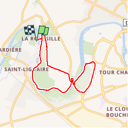
La Roussille par Noron

olaze
Gebruiker

Lengte
7,6 km

Max. hoogte
17 m

Positief hoogteverschil
44 m
Km-Effort
8,2 km

Min. hoogte
5 m

Negatief hoogteverschil
43 m
Boucle
Ja
Datum van aanmaak :
2014-12-10 00:00:00.0
Laatste wijziging :
2014-12-10 00:00:00.0
1h47
Moeilijkheid : Heel gemakkelijk

Gratisgps-wandelapplicatie
 SityTrail
IGN / Geografische instituten
SityTrail Plus
De wereld gaat voor u open
Over ons
Tocht Stappen van 7,6 km beschikbaar op Nieuw-Aquitanië, Deux-Sèvres, Niort. Deze tocht wordt voorgesteld door olaze.
Beschrijving
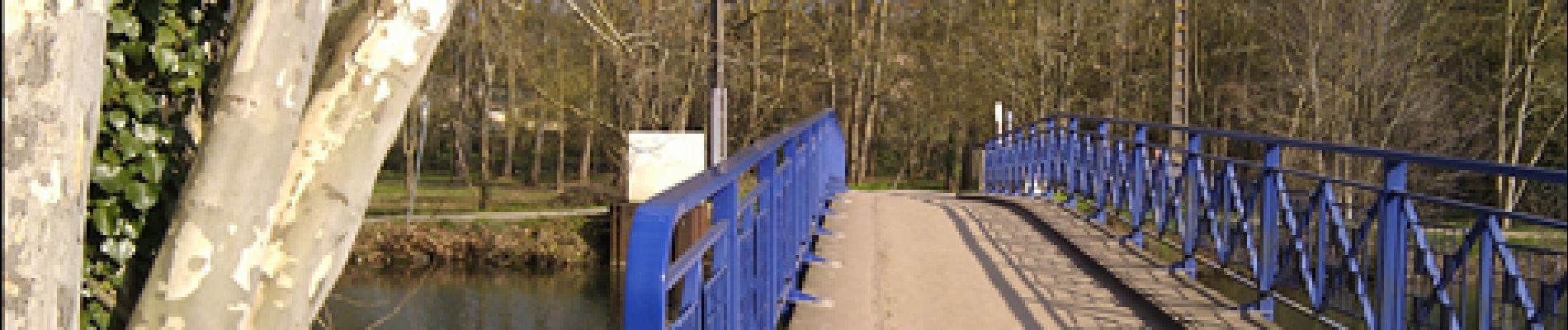
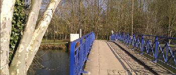
Circuit départ et retour "La Roussille". Bords de Sèvre St-Liguaire,Plan d'eau de Noron, ferme de Chey.
Club rando bessines* 2012.
Foto's


Plaatsbepaling
Land:
France
Regio :
Nieuw-Aquitanië
Departement/Provincie :
Deux-Sèvres
Gemeente :
Niort
Locatie:
Unknown
Vertrek:(Dec)
Vertrek:(UTM)
691730 ; 5133933 (30T) N.
Opmerkingen