


grand col ferret

dominiqie
Gebruiker

Lengte
11,3 km

Max. hoogte
2532 m

Positief hoogteverschil
927 m
Km-Effort
21 km

Min. hoogte
1617 m

Negatief hoogteverschil
20 m
Boucle
Neen
Datum van aanmaak :
2014-12-10 00:00:00.0
Laatste wijziging :
2014-12-10 00:00:00.0
1h55
Moeilijkheid : Onbekend

Gratisgps-wandelapplicatie
 SityTrail
IGN / Geografische instituten
SityTrail Plus
De wereld gaat voor u open
Over ons
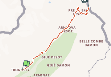
Tocht Mountainbike van 11,3 km beschikbaar op Valle d'Aosta, Onbekend, Courmayeur. Deze tocht wordt voorgesteld door dominiqie.
Plaatsbepaling
Land:
Italy
Regio :
Valle d'Aosta
Departement/Provincie :
Onbekend
Gemeente :
Courmayeur
Locatie:
Unknown
Vertrek:(Dec)
Vertrek:(UTM)
344965 ; 5078121 (32T) N.
Opmerkingen