


Sainte- Christine 2

olaze
Gebruiker


Lengte
10,6 km

Max. hoogte
12 m

Positief hoogteverschil
62 m
Km-Effort
11,5 km

Min. hoogte
0 m

Negatief hoogteverschil
64 m
Boucle
Ja
Datum van aanmaak :
2014-12-10 00:00:00.0
Laatste wijziging :
2014-12-10 00:00:00.0
2h47
Moeilijkheid : Gemakkelijk

Gratisgps-wandelapplicatie
 SityTrail
IGN / Geografische instituten
SityTrail Plus
De wereld gaat voor u open
Over ons
Tocht Stappen van 10,6 km beschikbaar op Pays de la Loire, Vendée, Benet. Deze tocht wordt voorgesteld door olaze.
Beschrijving
Départ:retour de Ste-Christine.
Le long de La rigole d'Aziré.
Canal de Courdault.Port de Courdault.La Garenne.Les Nattes.
Club rando Bessines, oct 2012
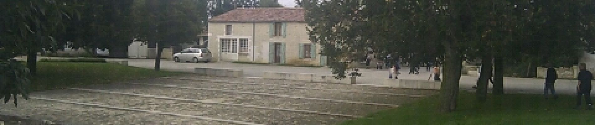
Foto's


Plaatsbepaling
Land:
France
Regio :
Pays de la Loire
Departement/Provincie :
Vendée
Gemeente :
Benet
Locatie:
Unknown
Vertrek:(Dec)
Vertrek:(UTM)
679560 ; 5136706 (30T) N.
Opmerkingen