


rando sault

starco
Gebruiker
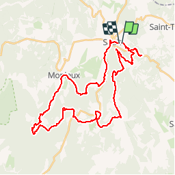

Lengte
44 km

Max. hoogte
1025 m

Positief hoogteverschil
1027 m
Km-Effort
58 km

Min. hoogte
624 m

Negatief hoogteverschil
1024 m
Boucle
Ja
Datum van aanmaak :
2014-12-10 00:00:00.0
Laatste wijziging :
2014-12-10 00:00:00.0
4h10
Moeilijkheid : Onbekend

Gratisgps-wandelapplicatie
 SityTrail
IGN / Geografische instituten
SityTrail Plus
De wereld gaat voor u open
Over ons
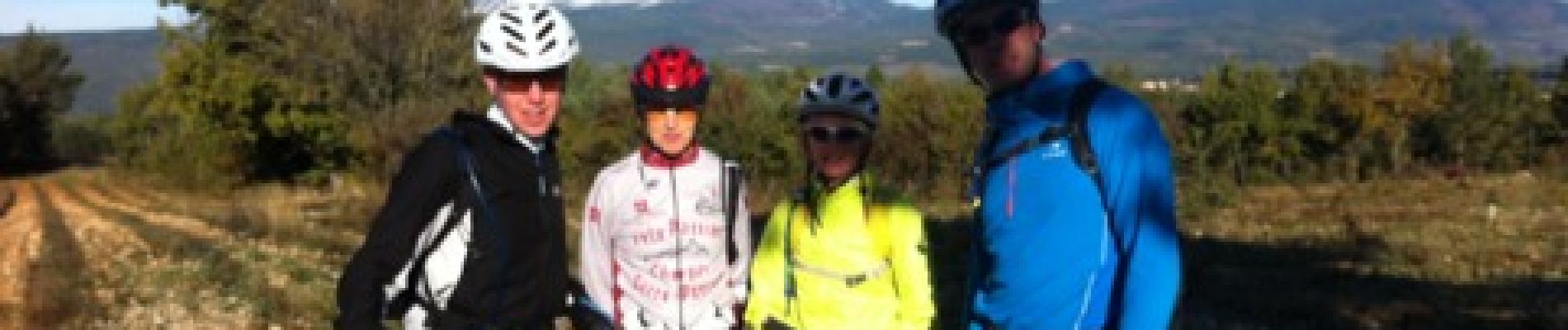
Tocht Mountainbike van 44 km beschikbaar op Provence-Alpes-Côte d'Azur, Vaucluse, Sault. Deze tocht wordt voorgesteld door starco.
Foto's


Plaatsbepaling
Land:
France
Regio :
Provence-Alpes-Côte d'Azur
Departement/Provincie :
Vaucluse
Gemeente :
Sault
Locatie:
Unknown
Vertrek:(Dec)
Vertrek:(UTM)
693580 ; 4884775 (31T) N.
Opmerkingen