


Le poisson de Poisson

tracegps
Gebruiker


2h00
Moeilijkheid : Medium

Gratisgps-wandelapplicatie
 SityTrail
IGN / Geografische instituten
SityTrail Plus
De wereld gaat voor u open
Over ons
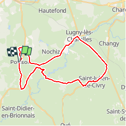
Tocht Mountainbike van 32 km beschikbaar op Bourgondië-Franche-Comté, Saône-et-Loire, Poisson. Deze tocht wordt voorgesteld door tracegps.
Beschrijving
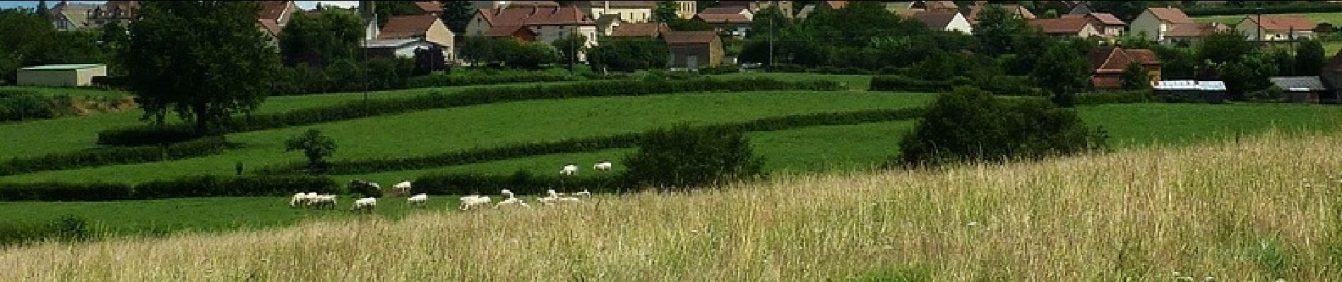
Parking et départ devant la mairie. Cette boucle sur route commence et se finit en queue de Poisson… Beau parcours vallonné, exclusivement sur la route, à travers le bocage verdoyant du Charolais-Brionnais. Ce circuit est également faisable à VTC ou à VTT et pas seulement le 1er avril… Topo-guide : Les Balades Vertes, Guide de randonnées Paray-le-Monial (12 circuits balisés). Circuits de marche au départ de Poisson (balisage jaune PR) : Le p’tit tour du P’chon (1,5 km, suivre PLM1) et Le « huit » du val d’Arconce (13 km, suivre PLM9).
Foto's


Plaatsbepaling
Opmerkingen