


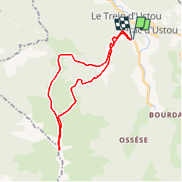


6,3 km | 13,6 km-effort


Gebruiker


Gratisgps-wandelapplicatie
 SityTrail
IGN / Geografische instituten
SityTrail World
De wereld gaat voor u open
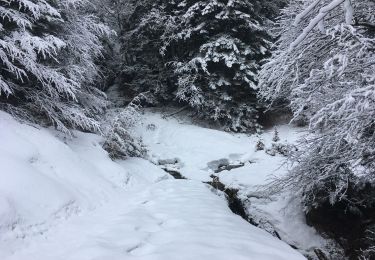
Tocht Sneeuwschoenen van 15,3 km beschikbaar op Occitanië, Ariège, Ustou. Deze tocht wordt voorgesteld door Polo-31.
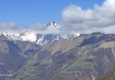
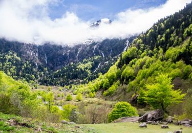
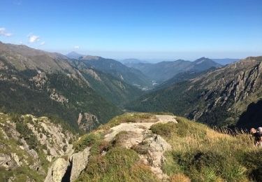
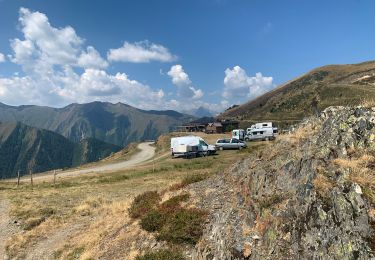
Ascension du Pic de la TESE 2254m depuis Saint Lizier (Vallée USTOU - ARIEGE)
1600m D et D-

Stappen

Stappen
Stappen
Te voet
Te voet
Stappen
Stappen
Noords wandelen