


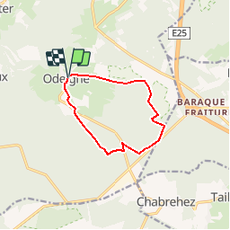


23 km | 30 km-effort

Randonnées de Natura 2000 GUIDE+


Gratisgps-wandelapplicatie
 SityTrail
IGN / Geografische instituten
SityTrail World
De wereld gaat voor u open
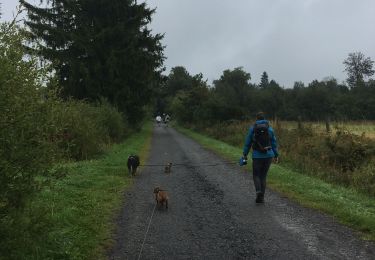
Tocht Stappen van 8,8 km beschikbaar op Wallonië, Luxemburg, Manhay. Deze tocht wordt voorgesteld door Natura 2000.
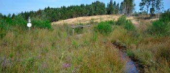
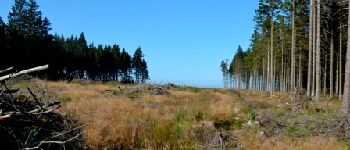
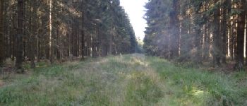
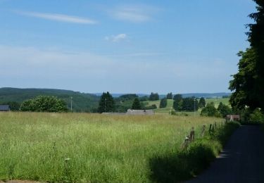
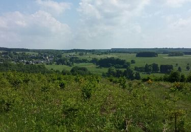
Les projets LIFE sont cofinancés par l’Union européenne dans le cadre de sa politique environnementale. Au Plateau des Tailles, un tel projet a été mis en oeuvre de 2006 à 2010, restaurant les milieux naturels et aidant les espèces menacées du versant sud du plateau, sur une surface globale de plus de
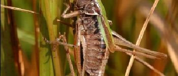
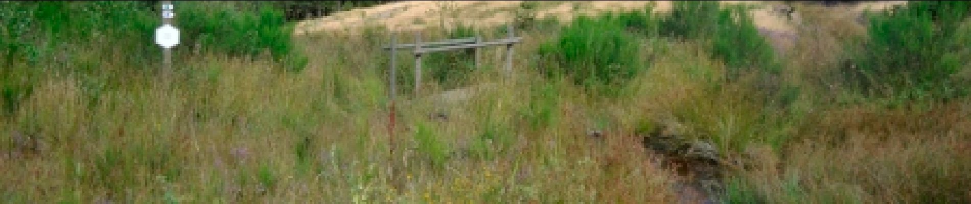
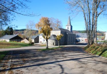
850 ha. Son périmètre d’action a couvert quatre sites Natura 2000, dont le site "Fanges des sources de l’Aisne" qui englobe ce circuit.


Stappen
Stappen
Stappen
Stappen
Stappen
Stappen
Stappen

Stappen
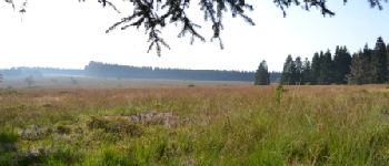
super agréable .belle vue. bottines conseillées
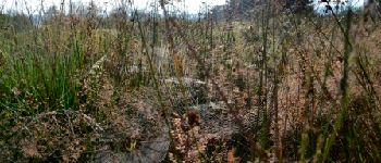
superbesuperbes paysages mai attention présence dde tourbières sur le tracé risque d enfoncement
On a fait cette balade sous la neige, c'était magnifique. Très beau site, avec des paysages variés. On a mis 2h40 à notre aise. Effectivement les bottes peuvent être utiles surtout sur la fin de la promenade. On en avait pas et ça n'a pas gâcher notre plaisir!