


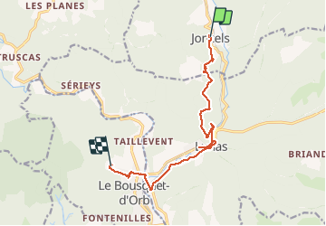
Joncels - Le Bousquet d'Orb

RR31
Gebruiker

Lengte
13,1 km

Max. hoogte
446 m

Positief hoogteverschil
229 m
Km-Effort
16,3 km

Min. hoogte
247 m

Negatief hoogteverschil
288 m
Boucle
Neen
Datum van aanmaak :
2014-12-10 00:00:00.0
Laatste wijziging :
2014-12-10 00:00:00.0
3h40
Moeilijkheid : Gemakkelijk

Gratisgps-wandelapplicatie
 SityTrail
IGN / Geografische instituten
SityTrail Plus
De wereld gaat voor u open
Over ons
Tocht Stappen van 13,1 km beschikbaar op Occitanië, Hérault, Joncels. Deze tocht wordt voorgesteld door RR31.
Beschrijving
St Jacques
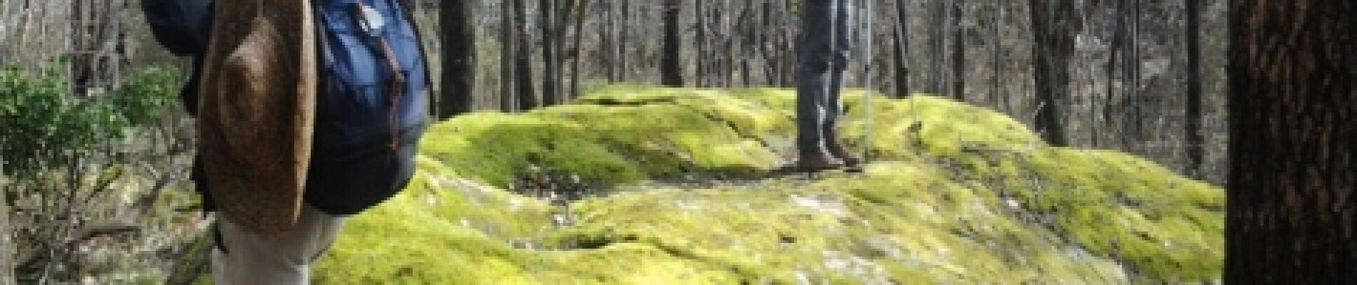
Foto's


22 fotos in totaal. Klik op een foto om ze allemaal in de galerij weer te geven.
Plaatsbepaling
Land:
France
Regio :
Occitanië
Departement/Provincie :
Hérault
Gemeente :
Joncels
Locatie:
Unknown
Vertrek:(Dec)
Vertrek:(UTM)
515624 ; 4842793 (31T) N.
Opmerkingen