


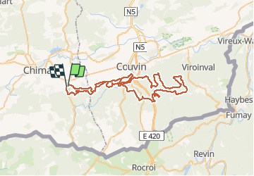
Baileux - Couvin - Ry de Rome - Regniessart - 65km : 1250

D4Y.be
Gebruiker


4h30
Moeilijkheid : Zeer moeilijk

Gratisgps-wandelapplicatie
 SityTrail
IGN / Geografische instituten
SityTrail Plus
De wereld gaat voor u open
Over ons
Tocht Mountainbike van 65 km beschikbaar op Wallonië, Henegouwen, Chimay. Deze tocht wordt voorgesteld door D4Y.be.
Beschrijving
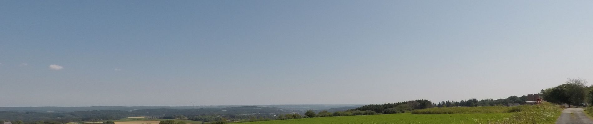
Un beau parcours dans une majorité de bois .
Un passage sur le nouveau contournement de Couvin.
Si plus de km ne vous font pas peur , il y a d'autres possibilités de retour par Brûly-De-Pesche !
Foto's


Plaatsbepaling
Opmerkingen