


Raid des sources 2018 - 65km

D4Y.be
Gebruiker
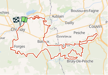

Lengte
63 km

Max. hoogte
339 m

Positief hoogteverschil
1230 m
Km-Effort
79 km

Min. hoogte
192 m

Negatief hoogteverschil
1224 m
Boucle
Ja
Datum van aanmaak :
2018-08-12 06:02:38.392
Laatste wijziging :
2018-08-14 16:10:21.346
3h32
Moeilijkheid : Heel gemakkelijk

Gratisgps-wandelapplicatie
 SityTrail
IGN / Geografische instituten
SityTrail Plus
De wereld gaat voor u open
Over ons
Tocht Mountainbike van 63 km beschikbaar op Wallonië, Henegouwen, Chimay. Deze tocht wordt voorgesteld door D4Y.be.
Beschrijving
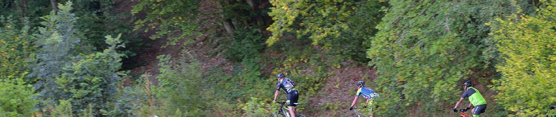
Voici le Raid des sources Chrono de 65 km
Une chouette boucle s'étendant de Chimay à Couvin.
Un dénivelé sympathique de 1230m.
Foto's

Plaatsbepaling
Land:
Belgium
Regio :
Wallonië
Departement/Provincie :
Henegouwen
Gemeente :
Chimay
Locatie:
Chimay
Vertrek:(Dec)
Vertrek:(UTM)
594714 ; 5545271 (31U) N.
Opmerkingen