


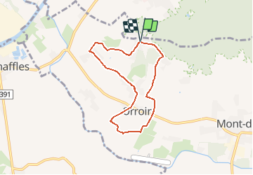


21 km | 24 km-effort
Randonnées de RandoFamili


Gratisgps-wandelapplicatie
 SityTrail
IGN / Geografische instituten
SityTrail World
De wereld gaat voor u open
Tocht Stappen van 5,8 km beschikbaar op Wallonië, Henegouwen, Mont-de-l'Enclus. Deze tocht wordt voorgesteld door Rando Famili.
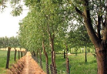
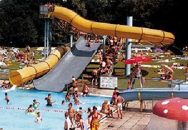
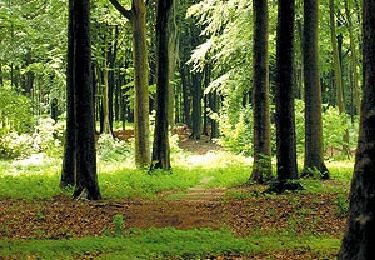
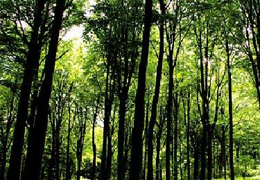
Mont de l’Enclus Vous voilà au sommet du Pays des Collines (141 m). C’est ici, dans la forêt du Mont de l’Enclus, qu’un enfant abandonné serait devenu le premier comte de Flandre, selon la légende… Admirez la vue imprenable sur Tournai, le Mont Saint-Aubert et la Plaine de l’Escaut. Prélassez-vous à l’une des terrasses de l’Enclus du Haut ou piquez une tête dans la piscine du Kluisbos.


Paard

Mountainbike

Te voet
Te voet
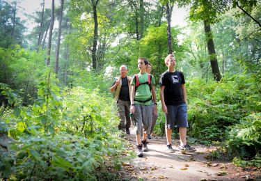
Te voet
Te voet
Te voet
Stappen
Stappen