Tocht Stappen Larnat - Col de Larnat et Col Doulent - Photo

Col de Larnat et Col Doulent

 c.chehere
c.chehere

Gebruiker

© OpenStreetMap contributors
Lengte
Lengte
14,8 km
Max. hoogte
Max. hoogte
1495 m
Positief hoogteverschil
596 m
Km-Effort
Km-Effort  
23 km
Min. hoogte
Min. hoogte
908 m
Negatief hoogteverschil
596 m
Boucle
Boucle
Ja
Datum van aanmaak :
2019-02-25 20:51:50.142
Laatste wijziging :
2019-07-20 09:42:39.603

(1 Bericht)

Stappen
Stappen
4h42
Moeilijkheid : Moeilijk

Scan deze QR-code om de tocht te openen in de SityTrail-applicatie

Gratisgps-wandelapplicatie

Logo SityTrail SityTrail

IGN / Geografische instituten

SityTrail uit de App Store downloaden SityTrail uit Google Play downloaden

Logo SityTrail SityTrail World

De wereld gaat voor u open

SityTrail uit de App Store downloaden SityTrail uit Google Play downloaden SityTrail op Huawei AppGallery downloaden

Over ons

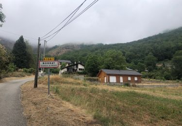
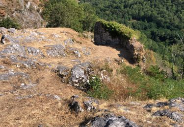
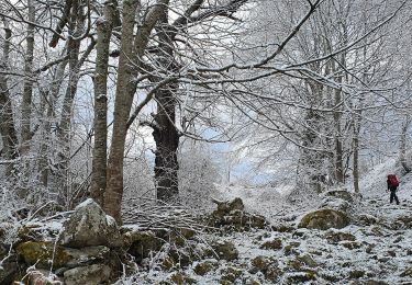
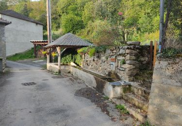
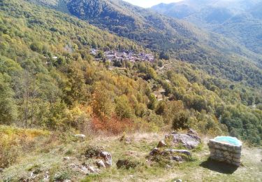
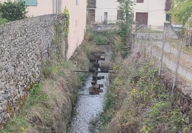
Tocht Stappen van 14,8 km beschikbaar op Occitanië, Ariège, Larnat. Deze tocht wordt voorgesteld door c.chehere.

Hoogteprofiel

Plaatsbepaling

Land:
France
Regio :
Occitanië
Departement/Provincie :
Ariège
Gemeente :
Larnat
Locatie:
Unknown
Vertrek:(UTM)
388179 ; 4739450 (31T) N.

Opmerkingen

Gelieve in te loggen om een commentaar of een beoordeling achter te laten


très beaux paysages. parcours sur des pistes presque tout le long


Wandeltochten in de omgeving

Tocht Elektrische fiets Niaux - Niaux  - Photo
Elektrische fiets
jpborto

Elektrische fiets

Heel gemakkelijk
Niaux, Occitanië, Ariège, France
13,8 km | 21 km-effort
51min
Ja
Tocht Elektrische fiets Niaux - Château Miglos - Photo
Elektrische fiets
jpborto

Elektrische fiets

Heel gemakkelijk
Niaux, Occitanië, Ariège, France
8,1 km | 11 km-effort
45min
Neen
Tocht Stappen Miglos - rocher de MIGLOS  - Photo
Stappen
chrisgps

Stappen

Medium
Miglos, Occitanië, Ariège, France
12,8 km | 24 km-effort
6h 50min
Ja
Tocht Stappen Larnat - Cap de la Lesse - Photo
Stappen
c.chehere

Stappen

Gemakkelijk
Larnat, Occitanië, Ariège, France
15,5 km | 23 km-effort
5h 41min
Ja
Tocht Stappen Verdun - Verdun, Albies, Vebre - Photo
Stappen
luccio20231

Stappen

Gemakkelijk
Verdun, Occitanië, Ariège, France
4,4 km | 6 km-effort
1h 33min
Neen
Tocht Stappen Capoulet-et-Junac - Le Vicdessos par Illié - Photo
Stappen
c.chehere

Stappen

Medium
Capoulet-et-Junac, Occitanië, Ariège, France
14,3 km | 24 km-effort
5h 52min
Ja
Tocht Stappen Niaux - Niaux  - Photo
Stappen
c.chehere

Stappen

Gemakkelijk
Niaux, Occitanië, Ariège, France
12,2 km | 21 km-effort
3h 20min
Ja
Tocht Stappen Capoulet-et-Junac - Tour de la bouiche de Gesties - Photo
Stappen
c.chehere

Stappen

Moeilijk
Capoulet-et-Junac, Occitanië, Ariège, France
17,3 km | 0 m-effort
7h 40min
Ja
Tocht Stappen Les Cabannes - Camina des Cabannes à Luzenac - Photo
Stappen
c.chehere

Stappen

Gemakkelijk
Les Cabannes, Occitanië, Ariège, France
8,4 km | 10,6 km-effort
2h 46min
Neen


Sluiten
Mijn abonnementen