


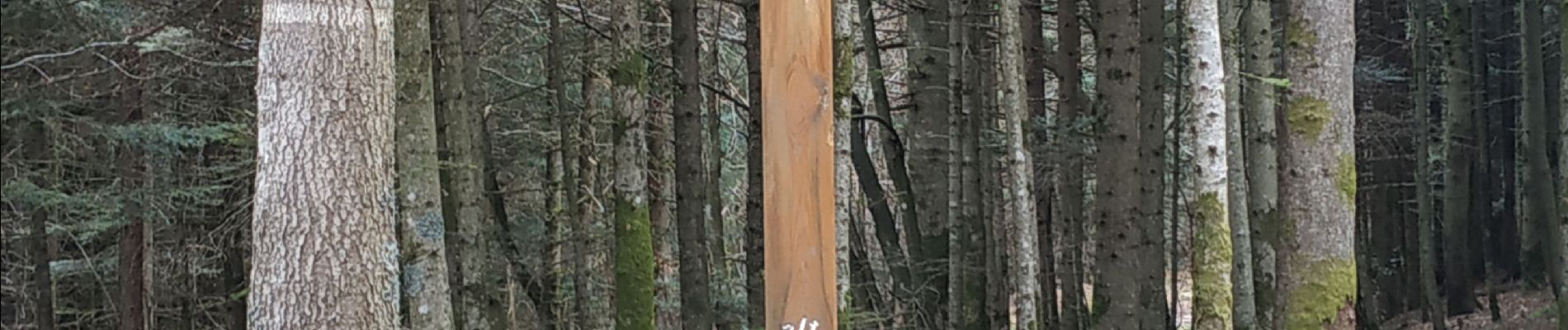
sortie vtt du 07042019 la bourgonce

fabwin
Gebruiker GUIDE
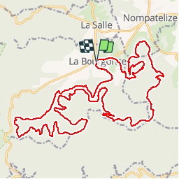

Lengte
31 km

Max. hoogte
625 m

Positief hoogteverschil
832 m
Km-Effort
42 km

Min. hoogte
364 m

Negatief hoogteverschil
832 m
Boucle
Ja
Datum van aanmaak :
2019-04-07 07:13:44.56
Laatste wijziging :
2019-04-07 13:13:04.472
2h48
Moeilijkheid : Moeilijk

Gratisgps-wandelapplicatie
 SityTrail
IGN / Geografische instituten
SityTrail Plus
De wereld gaat voor u open
Over ons
Tocht Mountainbike van 31 km beschikbaar op Grand Est, Vogezen, La Bourgonce. Deze tocht wordt voorgesteld door fabwin.
Foto's


Plaatsbepaling
Land:
France
Regio :
Grand Est
Departement/Provincie :
Vogezen
Gemeente :
La Bourgonce
Locatie:
Unknown
Vertrek:(Dec)
Vertrek:(UTM)
338930 ; 5353204 (32U) N.
Opmerkingen