


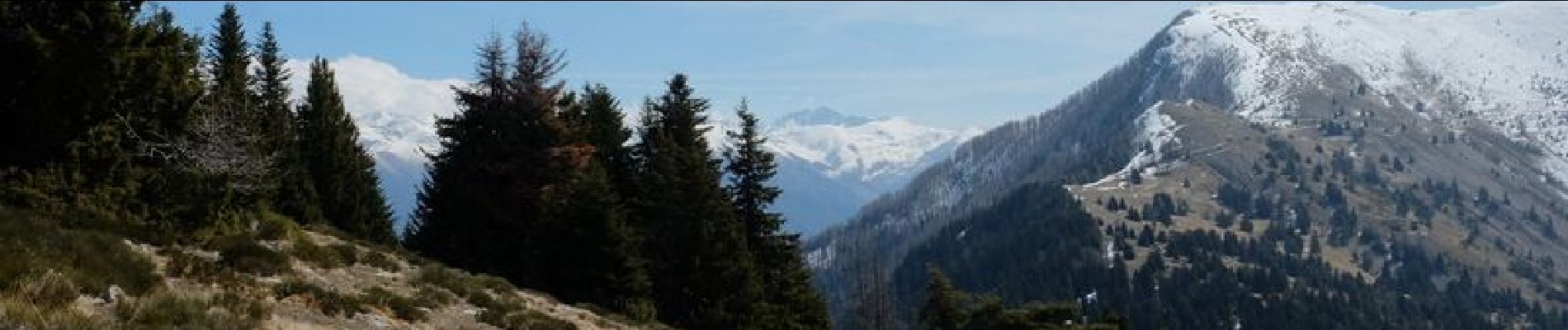
Mont Viroulet et petit Cayres.Départ Bolline b139

GrouGary
Gebruiker


6h30
Moeilijkheid : Medium

Gratisgps-wandelapplicatie
 SityTrail
IGN / Geografische instituten
SityTrail Plus
De wereld gaat voor u open
Over ons
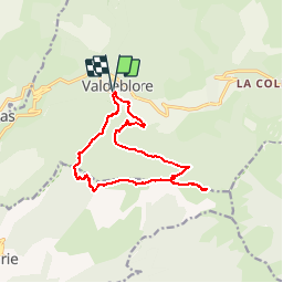
Tocht Stappen van 14,8 km beschikbaar op Provence-Alpes-Côte d'Azur, Alpes-Maritimes, Valdeblore. Deze tocht wordt voorgesteld door GrouGary.
Beschrijving
circuit départ église St Jacques de la Bolline,montée bois noir de Serena puis au dessus de Marie dans la foret de Lauzetta, plan d'Arous puis les pentes de Viroulet. Retour par col de la Madeleine et descente au collet du Puy. 1100
Foto's


Plaatsbepaling
Opmerkingen