


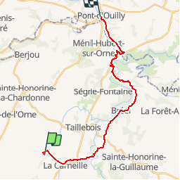

10,4 km | 13,4 km-effort


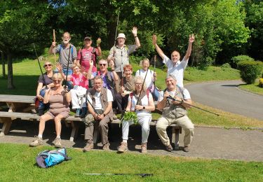
Gebruiker


Gratisgps-wandelapplicatie
 SityTrail
IGN / Geografische instituten
SityTrail World
De wereld gaat voor u open
Tocht Fietstoerisme van 19,6 km beschikbaar op Normandië, Orne, Athis-Val-de-Rouvre. Deze tocht wordt voorgesteld door Ceclm.
Vélo Francette
Stappen

Mountainbike
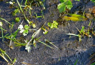
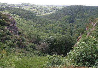
Te voet
Stappen
Stappen

Te voet
Te voet
Te voet
Te voet