


cherman1

philou91
Gebruiker
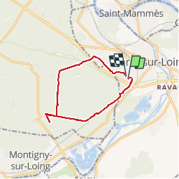

Lengte
10,4 km

Max. hoogte
109 m

Positief hoogteverschil
108 m
Km-Effort
11,9 km

Min. hoogte
72 m

Negatief hoogteverschil
110 m
Boucle
Ja
Datum van aanmaak :
2014-12-10 00:00:00.0
Laatste wijziging :
2014-12-10 00:00:00.0
2h36
Moeilijkheid : Gemakkelijk

Gratisgps-wandelapplicatie
 SityTrail
IGN / Geografische instituten
SityTrail Plus
De wereld gaat voor u open
Over ons
Tocht Stappen van 10,4 km beschikbaar op Île-de-France, Seine-et-Marne, Moret-Loing-et-Orvanne. Deze tocht wordt voorgesteld door philou91.
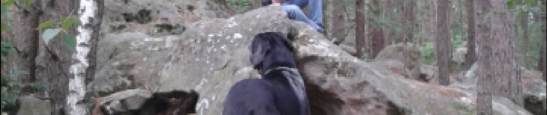
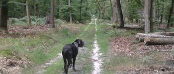
Foto's


Plaatsbepaling
Land:
France
Regio :
Île-de-France
Departement/Provincie :
Seine-et-Marne
Gemeente :
Moret-Loing-et-Orvanne
Locatie:
Moret-sur-Loing
Vertrek:(Dec)
Vertrek:(UTM)
485612 ; 5357150 (31U) N.
Opmerkingen