


6,7 km | 7,5 km-effort


Gebruiker


Gratisgps-wandelapplicatie
 SityTrail
IGN / Geografische instituten
SityTrail World
De wereld gaat voor u open
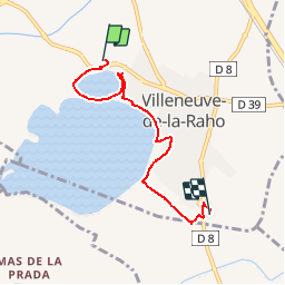
Tocht Stappen van 5,3 km beschikbaar op Occitanië, Pyrénées-Orientales, Villeneuve-de-la-Raho. Deze tocht wordt voorgesteld door marcheur75.
Ballade lac de la Raho au restaurant du Val Marie

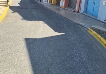
Stappen

Stappen

Stappen
Stappen
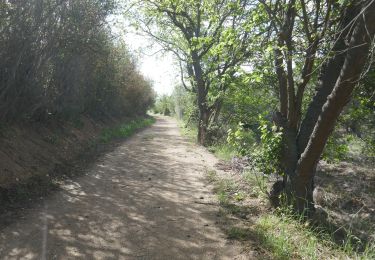
Stappen
Quad
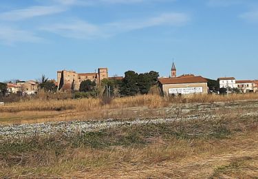
Stappen

Stappen

Stappen