


Py boucle du Pas de Rotja

ThonyM
Gebruiker
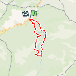

Lengte
12,1 km

Max. hoogte
1534 m

Positief hoogteverschil
661 m
Km-Effort
21 km

Min. hoogte
983 m

Negatief hoogteverschil
660 m
Boucle
Ja
Datum van aanmaak :
2019-09-26 06:19:44.0
Laatste wijziging :
2019-09-26 11:20:10.933
4h58
Moeilijkheid : Moeilijk

Gratisgps-wandelapplicatie
 SityTrail
IGN / Geografische instituten
SityTrail Plus
De wereld gaat voor u open
Over ons
Tocht Stappen van 12,1 km beschikbaar op Occitanië, Pyrénées-Orientales, Py. Deze tocht wordt voorgesteld door ThonyM.
Beschrijving
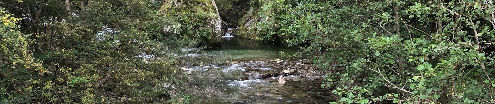
Parfois sportif, quelques fois hésitant à la recherche du bon passage. Attention au niveau de la Rotja pour les traversées
Foto's


Plaatsbepaling
Land:
France
Regio :
Occitanië
Departement/Provincie :
Pyrénées-Orientales
Gemeente :
Py
Locatie:
Unknown
Vertrek:(Dec)
Vertrek:(UTM)
446574 ; 4704938 (31T) N.
Opmerkingen