


Saint Laurent des combes

sandrineh
Gebruiker
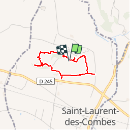

Lengte
2,7 km

Max. hoogte
93 m

Positief hoogteverschil
63 m
Km-Effort
3,5 km

Min. hoogte
34 m

Negatief hoogteverschil
61 m
Boucle
Ja
Datum van aanmaak :
2019-09-28 10:59:12.0
Laatste wijziging :
2019-09-28 12:58:46.142
1h49
Moeilijkheid : Medium

Gratisgps-wandelapplicatie
 SityTrail
IGN / Geografische instituten
SityTrail Plus
De wereld gaat voor u open
Over ons
Tocht Stappen van 2,7 km beschikbaar op Nieuw-Aquitanië, Gironde, Saint-Laurent-des-Combes. Deze tocht wordt voorgesteld door sandrineh.
Beschrijving
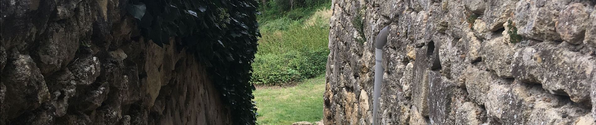
Déambulation dans les vignes autour de la vielle églises
Foto's


Plaatsbepaling
Land:
France
Regio :
Nieuw-Aquitanië
Departement/Provincie :
Gironde
Gemeente :
Saint-Laurent-des-Combes
Locatie:
Unknown
Vertrek:(Dec)
Vertrek:(UTM)
726183 ; 4973855 (30T) N.
Opmerkingen