


Marche(74) - Onnion - Les Choseaux

HG74250
Gebruiker
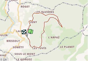

Lengte
7,7 km

Max. hoogte
1384 m

Positief hoogteverschil
484 m
Km-Effort
14,1 km

Min. hoogte
920 m

Negatief hoogteverschil
479 m
Boucle
Ja
Datum van aanmaak :
2019-10-13 17:00:14.197
Laatste wijziging :
2020-01-04 17:06:41.623
2h00
Moeilijkheid : Moeilijk

Gratisgps-wandelapplicatie
 SityTrail
IGN / Geografische instituten
SityTrail Plus
De wereld gaat voor u open
Over ons
Tocht Te voet van 7,7 km beschikbaar op Auvergne-Rhône-Alpes, Haute-Savoie, Onnion. Deze tocht wordt voorgesteld door HG74250.
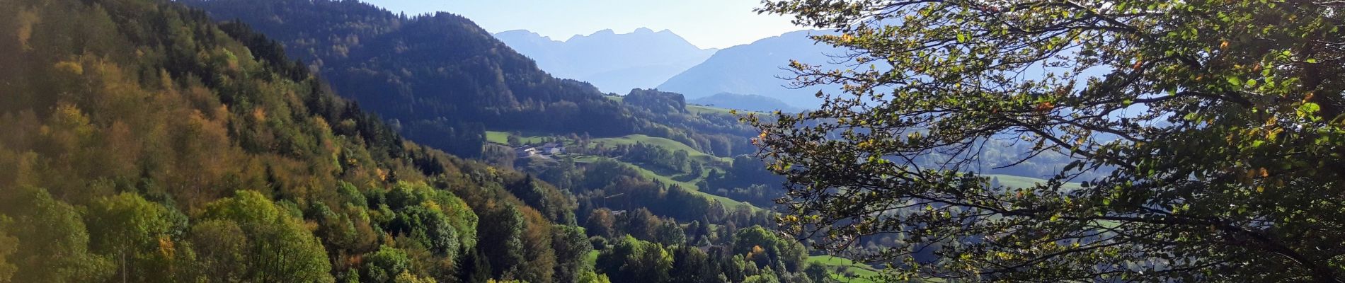
Foto's
 - Onnion - Les Choseaux - Photo 1")
Plaatsbepaling
Land:
France
Regio :
Auvergne-Rhône-Alpes
Departement/Provincie :
Haute-Savoie
Gemeente :
Onnion
Locatie:
Unknown
Vertrek:(Dec)
Vertrek:(UTM)
307788 ; 5116617 (32T) N.
Opmerkingen