


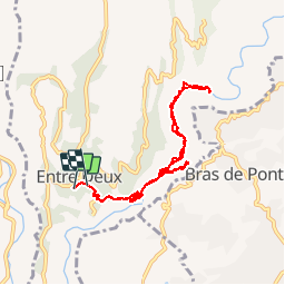
L'entre deux l'arche naturelle

Roulland
Gebruiker

Lengte
11,3 km

Max. hoogte
435 m

Positief hoogteverschil
798 m
Km-Effort
22 km

Min. hoogte
233 m

Negatief hoogteverschil
795 m
Boucle
Neen
Datum van aanmaak :
2019-11-20 04:50:57.638
Laatste wijziging :
2019-11-20 07:50:11.918
2h38
Moeilijkheid : Medium

Gratisgps-wandelapplicatie
 SityTrail
IGN / Geografische instituten
SityTrail Plus
De wereld gaat voor u open
Over ons
Tocht Stappen van 11,3 km beschikbaar op Réunion, Onbekend, Entre-Deux. Deze tocht wordt voorgesteld door Roulland.
Beschrijving
A faire à la saison sèche
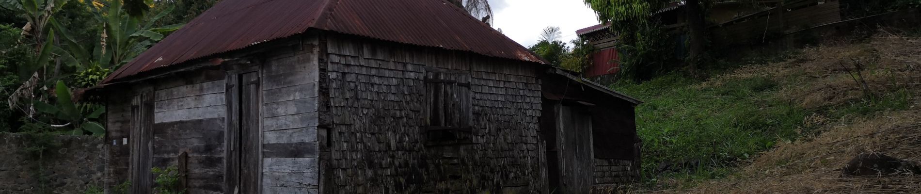
Foto's


Plaatsbepaling
Land:
France
Regio :
Réunion
Departement/Provincie :
Onbekend
Gemeente :
Entre-Deux
Locatie:
Unknown
Vertrek:(Dec)
Vertrek:(UTM)
341197 ; 7649364 (40K) Z.
Opmerkingen