


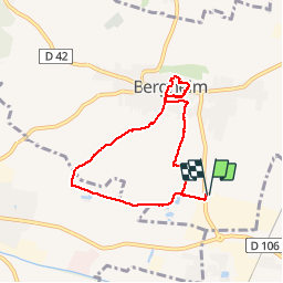

19,3 km | 24 km-effort

Gebruiker


Gratisgps-wandelapplicatie
 SityTrail
IGN / Geografische instituten
SityTrail World
De wereld gaat voor u open
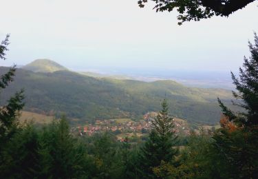
Tocht Stappen van 6,5 km beschikbaar op Grand Est, Haut-Rhin, Bergheim. Deze tocht wordt voorgesteld door zazie.
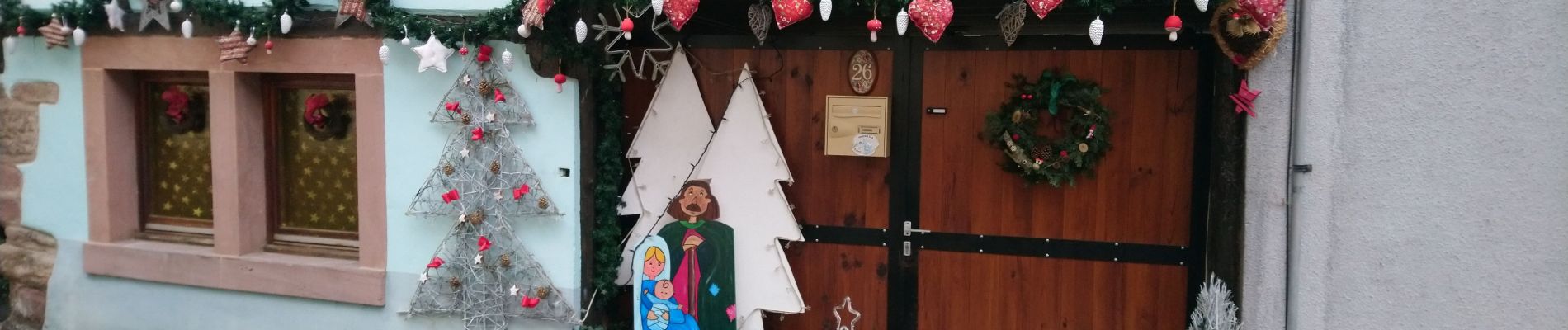
Décembre, promenade entre vignes, champs et la ronde des creches de Bergheim.
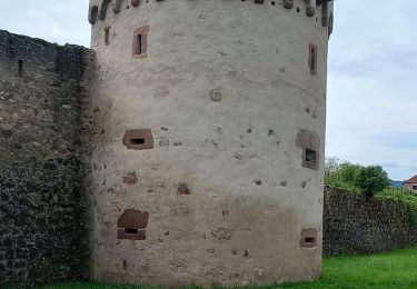
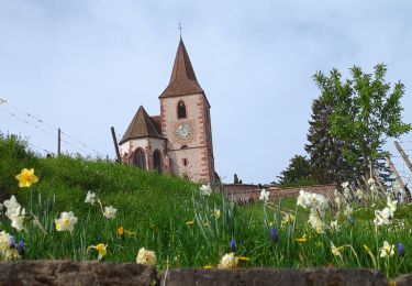
En Été, le village se découvre tout aussi bien avec le chemin des remparts.


Mountainbike

Stappen

Stappen
Stappen
Stappen

Stappen
Stappen
Mountainbike

Stappen