Tocht Stappen Saint-Antonin - Marie vers Saint sauvy - Photo

Marie vers Saint sauvy

 yves31
yves31

Gebruiker

© OpenStreetMap contributors
Lengte
Lengte
5,8 km
Max. hoogte
Max. hoogte
175 m
Positief hoogteverschil
64 m
Km-Effort
Km-Effort  
6,7 km
Min. hoogte
Min. hoogte
125 m
Negatief hoogteverschil
67 m
Boucle
Boucle
Neen
Datum van aanmaak :
2019-12-14 14:28:13.552
Laatste wijziging :
2019-12-14 15:57:18.562

(0 Bericht)

Stappen
Stappen
1h28
Moeilijkheid : Heel gemakkelijk

Scan deze QR-code om de tocht te openen in de SityTrail-applicatie

Gratisgps-wandelapplicatie

Logo SityTrail SityTrail

IGN / Geografische instituten

SityTrail uit de App Store downloaden SityTrail uit Google Play downloaden

Logo SityTrail SityTrail World

De wereld gaat voor u open

SityTrail uit de App Store downloaden SityTrail uit Google Play downloaden SityTrail op Huawei AppGallery downloaden

Over ons

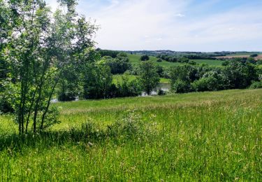
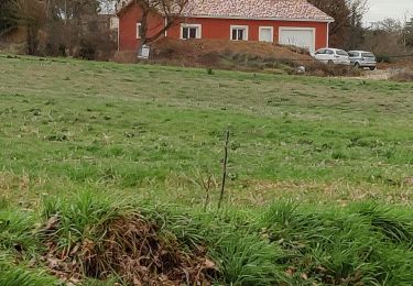
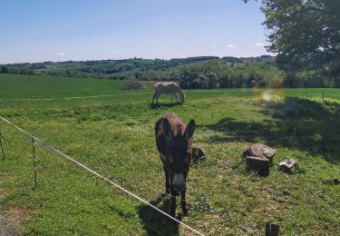
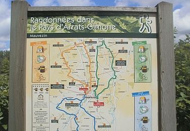
Tocht Stappen van 5,8 km beschikbaar op Occitanië, Gers, Saint-Antonin. Deze tocht wordt voorgesteld door yves31.

Beschrijving

Marie vers Saint sauvy

Hoogteprofiel

Plaatsbepaling

Land:
France
Regio :
Occitanië
Departement/Provincie :
Gers
Gemeente :
Saint-Antonin
Locatie:
Unknown
Vertrek:(UTM)
326245 ; 4841726 (31T) N.

Wandeltochten in de omgeving

Tocht Te voet Mauvezin - Wikiloc - Mauvezin Le Gouffre de La Hobio - Photo
Te voet
jeromelacoste

Te voet

Gemakkelijk
(1)
Mauvezin, Occitanië, Gers, France
15,1 km | 18,8 km-effort
Onbekend
Ja
Tocht Stappen Maravat - la Mothe  - Photo
Stappen
Antoine Sanchez

Stappen

Medium
Maravat, Occitanië, Gers, France
5,9 km | 7,2 km-effort
1h 27min
Neen
Tocht Te voet Saint-Sauvy - trail cote 12*30 - Photo
Te voet
jeromelacoste

Te voet

Heel gemakkelijk
Saint-Sauvy, Occitanië, Gers, France
8,9 km | 10,6 km-effort
1h 40min
Ja
Tocht Lopen Mauvezin - Ronde des foies gras - Mauvezin - Photo
Lopen
tracegps

Lopen

Moeilijk
Mauvezin, Occitanië, Gers, France
25 km | 29 km-effort
3h 0min
Neen
Tocht Mountainbike Mauvezin - Ronde des foies gras - Mauvezin - Photo
Mountainbike
tracegps

Mountainbike

Medium
Mauvezin, Occitanië, Gers, France
25 km | 29 km-effort
2h 0min
Neen
Tocht Te voet Mauvezin - Circuit des Jonquilles - Photo
Te voet
jeromelacoste

Te voet

Gemakkelijk
Mauvezin, Occitanië, Gers, France
13,4 km | 15,3 km-effort
3h 15min
Ja
Tocht Mountainbike Mauvezin - La Gimone - Sarrant - Photo
Mountainbike
lorenzot54

Mountainbike

Gemakkelijk
Mauvezin, Occitanië, Gers, France
25 km | 29 km-effort
2h 24min
Ja
Tocht Mountainbike Mauvezin - Solomiac-Maubec - Photo
Mountainbike
lorenzot54

Mountainbike

Mauvezin, Occitanië, Gers, France
29 km | 34 km-effort
1h 51min
Ja
Tocht Stappen Mauvezin - Tour de Mauvezin - Photo
Stappen
lorenzot54

Stappen

Mauvezin, Occitanië, Gers, France
4,3 km | 5,2 km-effort
1h 20min
Ja


Sluiten
Mijn abonnementen