


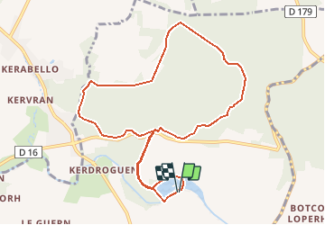
Circuit de l'étang, Brandivy

LaurentBernard
Gebruiker


--
Moeilijkheid : Heel gemakkelijk

Gratisgps-wandelapplicatie
 SityTrail
IGN / Geografische instituten
SityTrail Plus
De wereld gaat voor u open
Over ons
Tocht Te voet van 10 km beschikbaar op Bretagne, Morbihan, Brandivy. Deze tocht wordt voorgesteld door LaurentBernard.
Beschrijving
Situé sur les Landes de Lanvaux, ce circuit vous plonge dans la forêt domaniale de Lanvaux, gérée par l’Office National des Forêts. Les sentes sous les feuillus alternent avec de larges allées bien entretenues. En début de parcours, l’étang de la forêt, créé artificiellement sur le Loc’h, est aménagé en base de loisirs. Balisage : jaune (circuit PR) ATTENTION, d'autres circuits ont été balisés dans la forêt. SE MUNIR DE CETTE CARTE pour ne pas se perdre en attendant le rebalisage. Merci de votre compréhension !
Plaatsbepaling
Opmerkingen