


9,3 km | 10,7 km-effort


Gebruiker


Gratisgps-wandelapplicatie
 SityTrail
IGN / Geografische instituten
SityTrail World
De wereld gaat voor u open
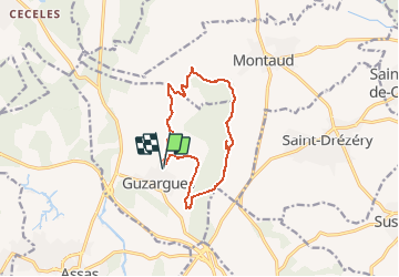
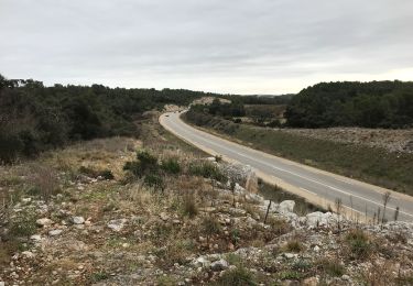
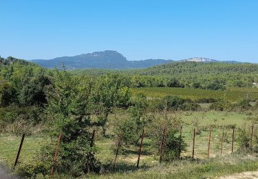
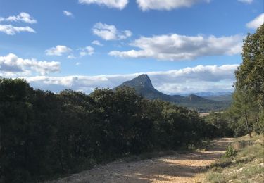
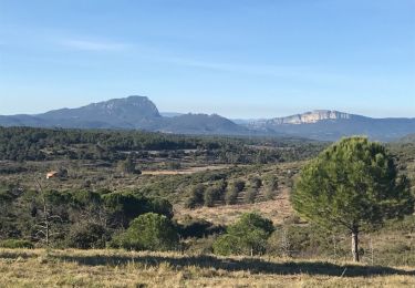
Tocht Te voet van 12,4 km beschikbaar op Occitanië, Hérault, Guzargues. Deze tocht wordt voorgesteld door guiller.
Guzargues, crête coté est , monter jusqu'à l'antenne, (mer visible, monts ventoux, cévennes), aller au nord, passer à la source de font counillière, (si passage par source de font salaison circuit de 15 kms ) sens des aiguilles d'une montre

Stappen
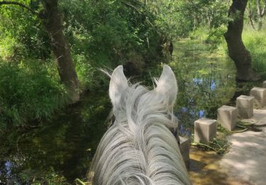
Paardrijden
Stappen

Te voet
Stappen
Stappen
jolie petite randonnée avec de belles vues sur le Pic Saint loup et sur l'étang de L'Or. aucune difficulté