


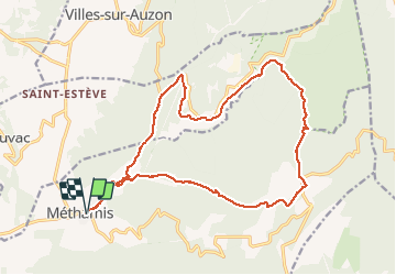
Methamis

FLORENSAC
Gebruiker

Lengte
21 km

Max. hoogte
680 m

Positief hoogteverschil
584 m
Km-Effort
28 km

Min. hoogte
282 m

Negatief hoogteverschil
584 m
Boucle
Ja
Datum van aanmaak :
2020-01-05 08:33:02.835
Laatste wijziging :
2020-01-08 18:37:18.704
6h38
Moeilijkheid : Medium

Gratisgps-wandelapplicatie
 SityTrail
IGN / Geografische instituten
SityTrail Plus
De wereld gaat voor u open
Over ons
Tocht Stappen van 21 km beschikbaar op Provence-Alpes-Côte d'Azur, Vaucluse, Méthamis. Deze tocht wordt voorgesteld door FLORENSAC.
Beschrijving
Départ parking derrière l'école primaire
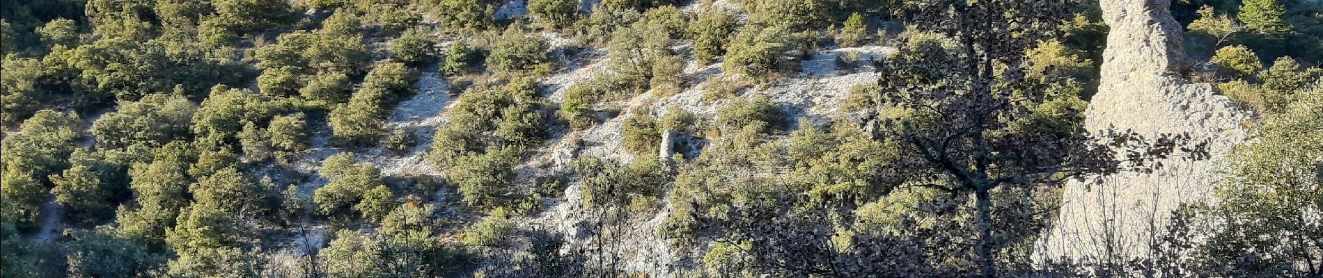
une jolie randonnée
sans difficultés particulières
retour dans la caillasse comme on dit chez nous
Foto's


Plaatsbepaling
Land:
France
Regio :
Provence-Alpes-Côte d'Azur
Departement/Provincie :
Vaucluse
Gemeente :
Méthamis
Locatie:
Unknown
Vertrek:(Dec)
Vertrek:(UTM)
678299 ; 4875755 (31T) N.
Opmerkingen