


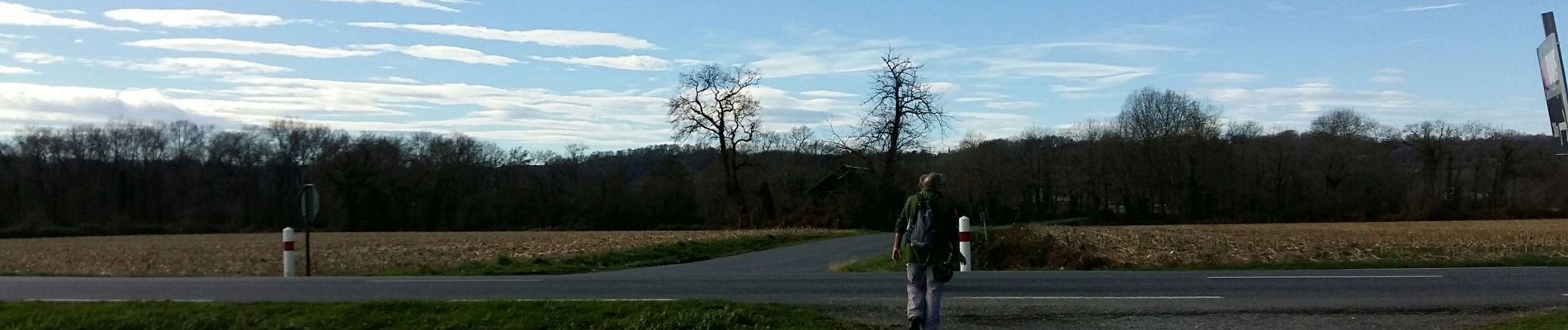
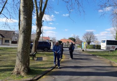
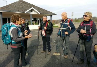
balisage la boucle de la vallée de l'uzan fait 2305725 - Photo 21")
balisage la boucle de la vallée de l'uzan fait 2305725 - Photo 22")
balisage la boucle de la vallée de l'uzan fait 2305725 - Photo 23")

15,6 km | 16,5 km-effort

Gebruiker GUIDE


Gratisgps-wandelapplicatie
 SityTrail
IGN / Geografische instituten
SityTrail World
De wereld gaat voor u open
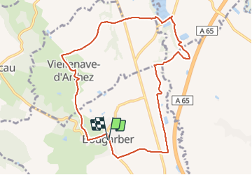
Tocht Stappen van 10,6 km beschikbaar op Nieuw-Aquitanië, Pyrénées-Atlantiques, Bougarber. Deze tocht wordt voorgesteld door marmotte65.
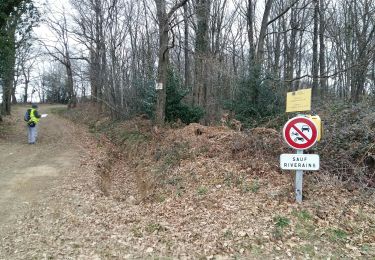
important travail de restauration à faire malgre le travail de balisage (lames cassées manquante , croisement avec d'autres boucles....
balisage la boucle de la vallée de l'uzan fait 2305725 - Photo 1")
balisage la boucle de la vallée de l'uzan fait 2305725 - Photo 2")
balisage la boucle de la vallée de l'uzan fait 2305725 - Photo 3")
balisage la boucle de la vallée de l'uzan fait 2305725 - Photo 4")
balisage la boucle de la vallée de l'uzan fait 2305725 - Photo 5")
balisage la boucle de la vallée de l'uzan fait 2305725 - Photo 6")
balisage la boucle de la vallée de l'uzan fait 2305725 - Photo 7")
balisage la boucle de la vallée de l'uzan fait 2305725 - Photo 8")
balisage la boucle de la vallée de l'uzan fait 2305725 - Photo 9")
balisage la boucle de la vallée de l'uzan fait 2305725 - Photo 10")
balisage la boucle de la vallée de l'uzan fait 2305725 - Photo 11")
balisage la boucle de la vallée de l'uzan fait 2305725 - Photo 12")
balisage la boucle de la vallée de l'uzan fait 2305725 - Photo 13")
balisage la boucle de la vallée de l'uzan fait 2305725 - Photo 14")
balisage la boucle de la vallée de l'uzan fait 2305725 - Photo 15")
balisage la boucle de la vallée de l'uzan fait 2305725 - Photo 16")
balisage la boucle de la vallée de l'uzan fait 2305725 - Photo 17")
balisage la boucle de la vallée de l'uzan fait 2305725 - Photo 18")
balisage la boucle de la vallée de l'uzan fait 2305725 - Photo 19")
balisage la boucle de la vallée de l'uzan fait 2305725 - Photo 20")
23 fotos in totaal. Klik op een foto om ze allemaal in de galerij weer te geven.

Mountainbike
Stappen
Stappen
Te voet
Auto
Fietstoerisme
Stappen
Mountainbike

Te voet