


hastingues G4fait

LouisROGER
Gebruiker GUIDE
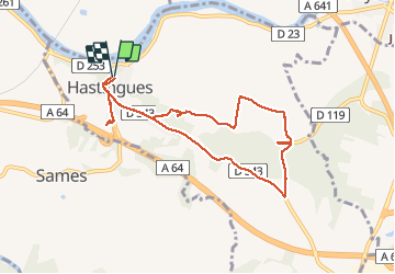

Lengte
9,1 km

Max. hoogte
85 m

Positief hoogteverschil
171 m
Km-Effort
11,3 km

Min. hoogte
-1 m

Negatief hoogteverschil
170 m
Boucle
Ja
Datum van aanmaak :
2020-02-07 08:51:15.222
Laatste wijziging :
2020-02-07 14:00:21.492
5h06
Moeilijkheid : Heel gemakkelijk

Gratisgps-wandelapplicatie
 SityTrail
IGN / Geografische instituten
SityTrail Plus
De wereld gaat voor u open
Over ons
Tocht Stappen van 9,1 km beschikbaar op Nieuw-Aquitanië, Landes, Hastingues. Deze tocht wordt voorgesteld door LouisROGER.
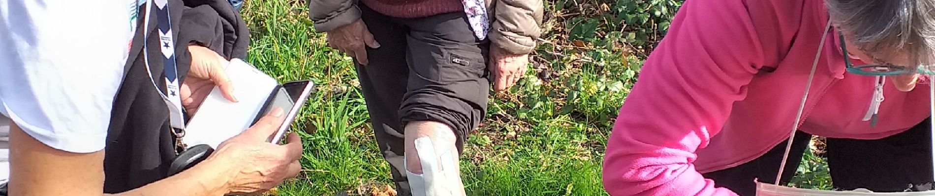
Foto's


Plaatsbepaling
Land:
France
Regio :
Nieuw-Aquitanië
Departement/Provincie :
Landes
Gemeente :
Hastingues
Locatie:
Unknown
Vertrek:(Dec)
Vertrek:(UTM)
649570 ; 4821846 (30T) N.
Opmerkingen