


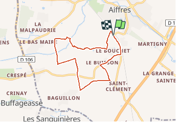


6,7 km | 7,3 km-effort


Gebruiker


Gratisgps-wandelapplicatie
 SityTrail
IGN / Geografische instituten
SityTrail World
De wereld gaat voor u open
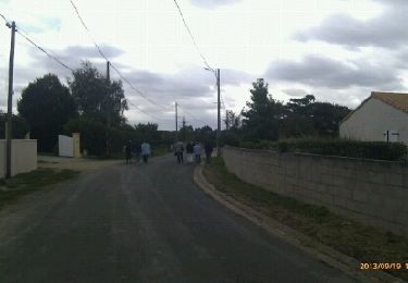
Tocht Stappen van 7 km beschikbaar op Nieuw-Aquitanië, Deux-Sèvres, Aiffres. Deze tocht wordt voorgesteld door clbolb7.
Stappen
Stappen

Stappen
Stappen
Stappen

Wegfiets
Wegfiets
Wegfiets

Stappen