


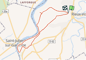

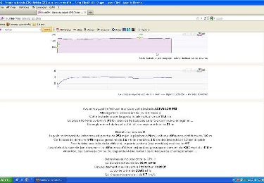
3,2 km | 5,1 km-effort


Gebruiker


Gratisgps-wandelapplicatie
 SityTrail
IGN / Geografische instituten
SityTrail World
De wereld gaat voor u open
Tocht Te voet van 9,2 km beschikbaar op Occitanië, Haute-Garonne, Rieux-Volvestre. Deze tocht wordt voorgesteld door VACHER31.
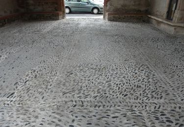
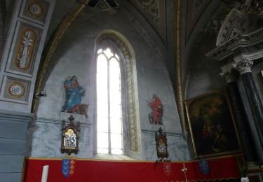
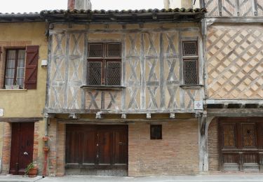
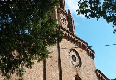
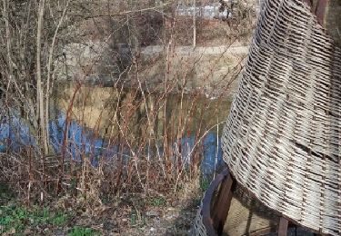
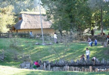
cathedrale et village gaulois
Te voet
Te voet
Te voet
Stappen

Andere activiteiten
Stappen
Stappen

Lopen
Mountainbike