


Ils sont de retour...

helmut68
Gebruiker


3h51
Moeilijkheid : Gemakkelijk

Gratisgps-wandelapplicatie
 SityTrail
IGN / Geografische instituten
SityTrail Plus
De wereld gaat voor u open
Over ons
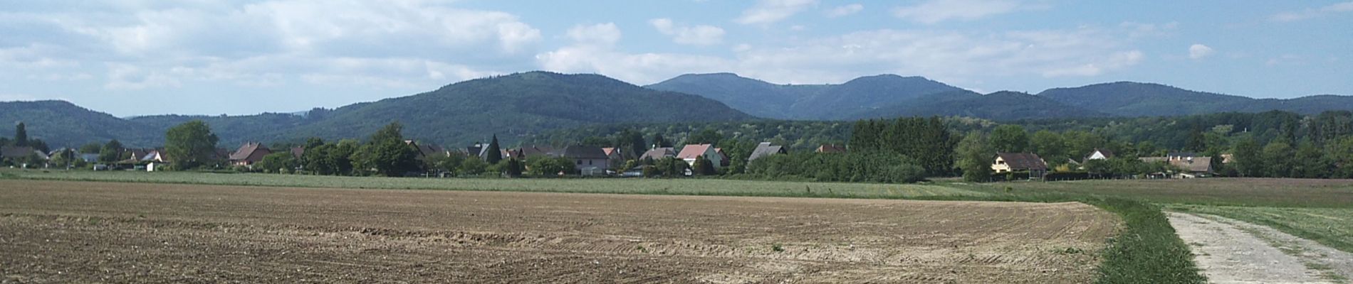
Tocht Stappen van 17,5 km beschikbaar op Grand Est, Haut-Rhin, Sentheim. Deze tocht wordt voorgesteld door helmut68.
Beschrijving
Ça y est ,ils reviennent avec leurs bâtons,leurs chaussures hautes,les VTT et j'en passe , après deux mois de calme , de répit, on les a relâchés ...
L'Après sera- t- il comme l'Avant ? Va savoir George...
Foto's


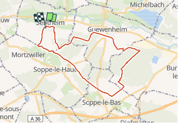
Plaatsbepaling
Opmerkingen