


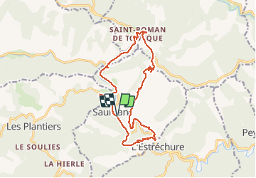

13,6 km | 21 km-effort

Gebruiker GUIDE


Gratisgps-wandelapplicatie
 SityTrail
IGN / Geografische instituten
SityTrail World
De wereld gaat voor u open
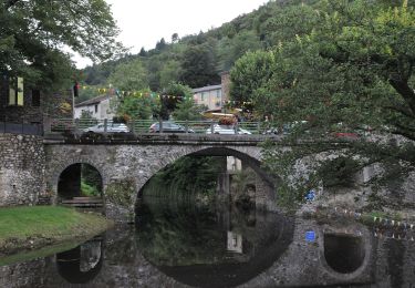
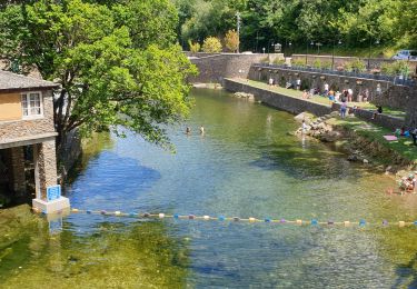
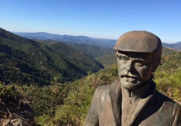
Tocht Stappen van 17,3 km beschikbaar op Occitanië, Gard, Saumane. Deze tocht wordt voorgesteld door nadinebondoux.
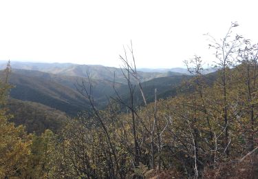
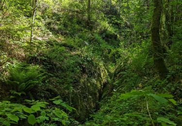
au Depart de Saumane rando dans la vallée Borgne


Stappen
Stappen
Stappen

Stappen
Stappen
Stappen
Te voet
Stappen
Stappen