


Les sentiers de L'Ardèche

kephas
Gebruiker

Lengte
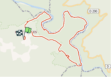
13,8 km

Max. hoogte
272 m

Positief hoogteverschil
611 m
Km-Effort
22 km

Min. hoogte
62 m

Negatief hoogteverschil
614 m
Boucle
Ja
Datum van aanmaak :
2020-06-05 09:36:11.296
Laatste wijziging :
2020-06-05 15:45:00.824
6h07
Moeilijkheid : Medium

Gratisgps-wandelapplicatie
 SityTrail
IGN / Geografische instituten
SityTrail Plus
De wereld gaat voor u open
Over ons
Tocht Stappen van 13,8 km beschikbaar op Auvergne-Rhône-Alpes, Ardèche, Labastide-de-Virac. Deze tocht wordt voorgesteld door kephas.
Beschrijving
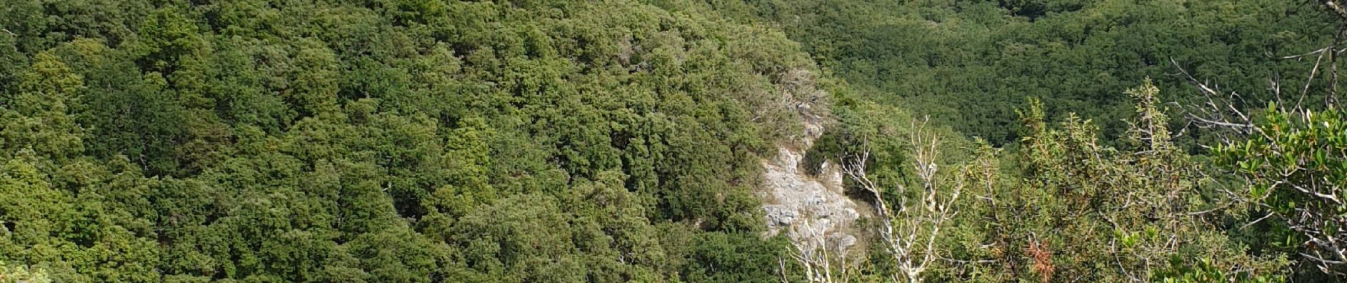
Beau circuit au départ du hameau des Crottes
Foto's


Plaatsbepaling
Land:
France
Regio :
Auvergne-Rhône-Alpes
Departement/Provincie :
Ardèche
Gemeente :
Labastide-de-Virac
Locatie:
Unknown
Vertrek:(Dec)
Vertrek:(UTM)
614155 ; 4912190 (31T) N.
Opmerkingen