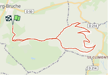
climont par la source de la bruche

apa
Gebruiker

Lengte
12,5 km

Max. hoogte
961 m

Positief hoogteverschil
461 m
Km-Effort
18,6 km

Min. hoogte
559 m

Negatief hoogteverschil
460 m
Boucle
Ja
Datum van aanmaak :
2020-06-09 07:16:32.049
Laatste wijziging :
2020-06-09 12:38:52.198
3h58
Moeilijkheid : Medium

Gratisgps-wandelapplicatie
 SityTrail
IGN / Geografische instituten
SityTrail Plus
De wereld gaat voor u open
Over ons
Tocht Stappen van 12,5 km beschikbaar op Grand Est, Bas-Rhin, Bourg-Bruche. Deze tocht wordt voorgesteld door apa.
Beschrijving
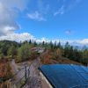
A faire panorama
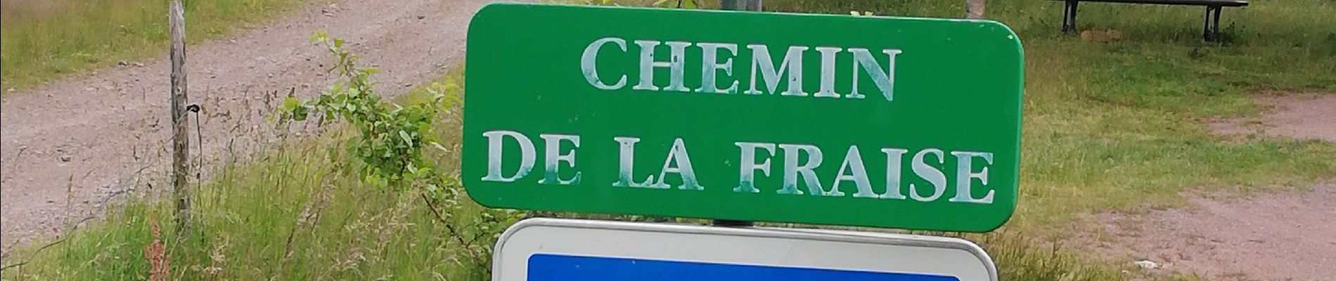
Foto's


Plaatsbepaling
Land:
France
Regio :
Grand Est
Departement/Provincie :
Bas-Rhin
Gemeente :
Bourg-Bruche
Locatie:
Unknown
Vertrek:(Dec)
Vertrek:(UTM)
362125 ; 5357052 (32U) N.
Opmerkingen