


Modette la boucle

sameja
Gebruiker
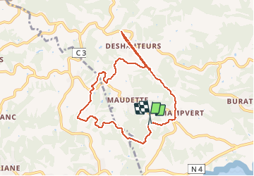

Lengte
11,6 km

Max. hoogte
120 m

Positief hoogteverschil
360 m
Km-Effort
16,4 km

Min. hoogte
25 m

Negatief hoogteverschil
353 m
Boucle
Ja
Datum van aanmaak :
2020-06-10 09:44:32.0
Laatste wijziging :
2020-06-10 11:16:49.856
1h21
Moeilijkheid : Zeer moeilijk

Gratisgps-wandelapplicatie
 SityTrail
IGN / Geografische instituten
SityTrail Plus
De wereld gaat voor u open
Over ons
Tocht Noords wandelen van 11,6 km beschikbaar op Guadeloupe, Onbekend, Sainte-Anne. Deze tocht wordt voorgesteld door sameja.
Beschrijving
Fond grand ma St anne
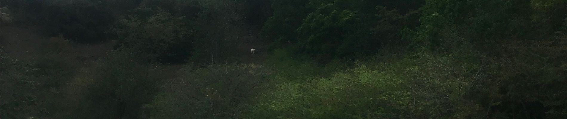
Foto's


Plaatsbepaling
Land:
France
Regio :
Guadeloupe
Departement/Provincie :
Onbekend
Gemeente :
Sainte-Anne
Locatie:
Unknown
Vertrek:(Dec)
Vertrek:(UTM)
668844 ; 1794856 (20Q) N.
Opmerkingen