


Esvres-sur-Indre - Circuit 1 - 16.4km 120m 3h35 - 2020 06 12

Orcal37
Gebruiker GUIDE
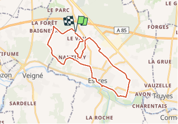

Lengte
16,4 km

Max. hoogte
98 m

Positief hoogteverschil
121 m
Km-Effort
18,1 km

Min. hoogte
57 m

Negatief hoogteverschil
121 m
Boucle
Ja
Datum van aanmaak :
2020-06-12 12:15:21.234
Laatste wijziging :
2021-08-24 17:11:32.556
3h35
Moeilijkheid : Gemakkelijk

Gratisgps-wandelapplicatie
 SityTrail
IGN / Geografische instituten
SityTrail Plus
De wereld gaat voor u open
Over ons
Tocht Stappen van 16,4 km beschikbaar op Centre-Val de Loire, Indre-et-Loire, Esvres. Deze tocht wordt voorgesteld door Orcal37.
Beschrijving
Esvres-sur-Indre - Circuit 1 plus une boucle variante - départ la Billette - 16.4km 120m 3h35 - 2020 06 12
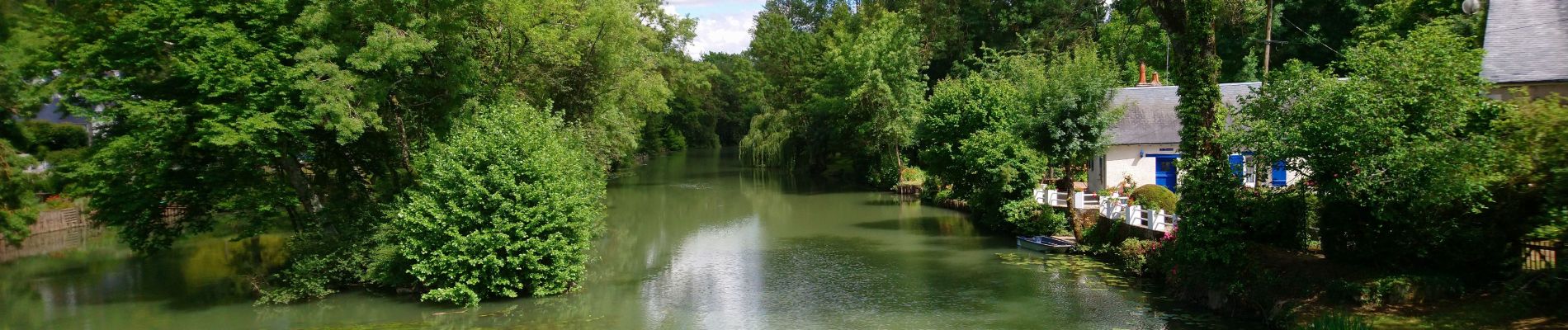
Foto's


Plaatsbepaling
Land:
France
Regio :
Centre-Val de Loire
Departement/Provincie :
Indre-et-Loire
Gemeente :
Esvres
Locatie:
Unknown
Vertrek:(Dec)
Vertrek:(UTM)
331523 ; 5241735 (31T) N.
Opmerkingen