


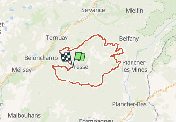
Tour de Fresse

PatriceCocuaud
Gebruiker

Lengte
31 km

Max. hoogte
877 m

Positief hoogteverschil
1007 m
Km-Effort
45 km

Min. hoogte
449 m

Negatief hoogteverschil
1017 m
Boucle
Ja
Datum van aanmaak :
2020-06-21 08:46:30.835
Laatste wijziging :
2020-06-22 09:56:27.858
3h21
Moeilijkheid : Medium

Gratisgps-wandelapplicatie
 SityTrail
IGN / Geografische instituten
SityTrail Plus
De wereld gaat voor u open
Over ons
Tocht Mountainbike van 31 km beschikbaar op Bourgondië-Franche-Comté, Haute-Saône, Fresse. Deze tocht wordt voorgesteld door PatriceCocuaud.
Plaatsbepaling
Land:
France
Regio :
Bourgondië-Franche-Comté
Departement/Provincie :
Haute-Saône
Gemeente :
Fresse
Locatie:
Unknown
Vertrek:(Dec)
Vertrek:(UTM)
324078 ; 5291794 (32T) N.
Opmerkingen