


Aletschorn

rohrh
Gebruiker

Lengte
92 km

Max. hoogte
4168 m

Positief hoogteverschil
10241 m
Km-Effort
225 km

Min. hoogte
1958 m

Negatief hoogteverschil
9362 m
Boucle
Neen
Datum van aanmaak :
2014-12-11 00:00:00.0
Laatste wijziging :
2014-12-11 00:00:00.0
--
Moeilijkheid : Onbekend

Gratisgps-wandelapplicatie
 SityTrail
IGN / Geografische instituten
SityTrail Plus
De wereld gaat voor u open
Over ons
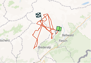
Tocht Andere activiteiten van 92 km beschikbaar op Valais/Wallis, Goms, Fiesch. Deze tocht wordt voorgesteld door rohrh.
Plaatsbepaling
Land:
Switzerland
Regio :
Valais/Wallis
Departement/Provincie :
Goms
Gemeente :
Fiesch
Locatie:
Unknown
Vertrek:(Dec)
Vertrek:(UTM)
430338 ; 5141908 (32T) N.
Opmerkingen