


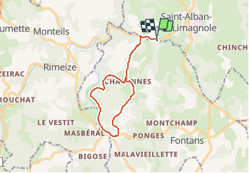

18,6 km | 24 km-effort


Gebruiker


Gratisgps-wandelapplicatie
 SityTrail
IGN / Geografische instituten
SityTrail World
De wereld gaat voor u open
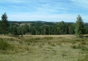
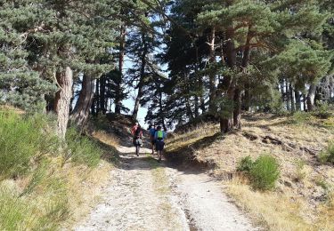
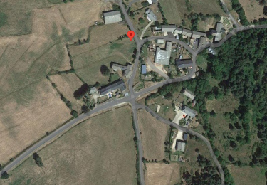
Tocht Stappen van 13,1 km beschikbaar op Occitanië, Lozère, Fontans. Deze tocht wordt voorgesteld door walrou63.
Départ du camping Le Galier, pour rejoindre le GR65 jusqu'aux ESTREES puis retour en boucle en suivant la Truyère et reprendre le GR65 à l'envers pour rejoindre le camping.
Stappen
Stappen

Stappen

Stappen
Stappen

Stappen
Stappen
Mountainbike
Stappen