


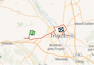

9,4 km | 12 km-effort


Gebruiker


Gratisgps-wandelapplicatie
 SityTrail
IGN / Geografische instituten
SityTrail World
De wereld gaat voor u open
Tocht Stappen van 42 km beschikbaar op Grand Est, Aube, Macey. Deze tocht wordt voorgesteld door rando-yves.
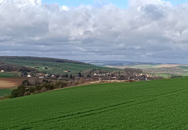
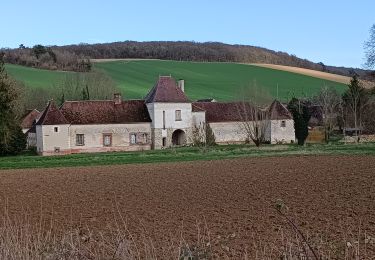
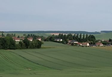
mixte plaine bois
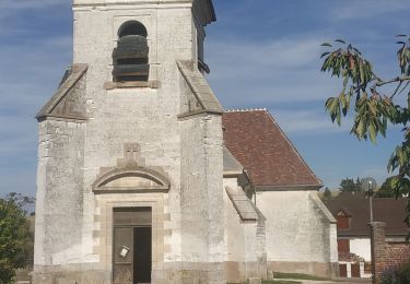
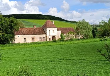
Stappen
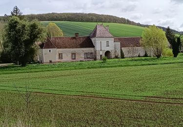
Stappen
Stappen
Stappen

Stappen
Stappen
Stappen
Stappen